Site of Settlement 600m NE of Sherbourne Church
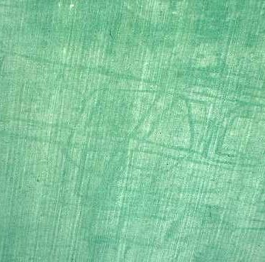
Cropmarks revealing the site of a settlement, Sherbourne
Warwickshire County Council
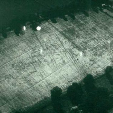
A possible settlement visible as a series of linear cropmarks near Sherbourne
W.A. Baker
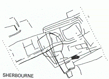
Plan of a possible Prehistoric or Roman settlement, Sherbourne
Warwickshire County Council
Description of this historic site
A complex of linear features that are visible as cropmarks on aerial photographs. They probably represent a settlement of Prehistoric and/or Roman date. They are situated 600m north east of the church at Sherbourne.
Can you help?
Notes about this historic site
3 Complex area of cropmarks which probably indicate a settlement of Prehistoric and/or Roman date. A trackway (PRN 5159) runs across the site and extends across the road to the W. Some patches of red/ brown soil indicated areas of early occupation.
4 Scheduled as an Ancient Monument in 1970.
5 Scheduled Monument revised description of 1983.
6 Air photos.
7 ‘From’ date changed to Neolithic.
8 Card from EH.
- For the sources of these notes, see the
- Timetrail record
- produced by the Historic Environment Record.


Comments
Add a comment about this page