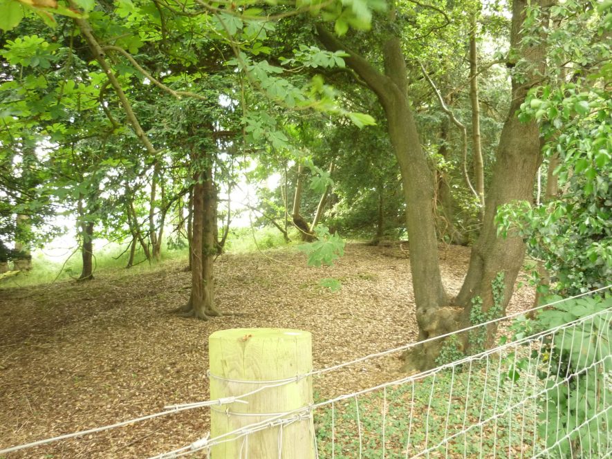
Mill Mound 300m NW of Claverdon Station
Description of this historic site
A windmill mound, still visible as an earthwork, which was the base for a windmill during the Post Medieval period. Some 18th century maps show a windmill at this location, 300m north west of Claverdon Station.
Can you help?
Notes about this historic site
1 Maps of 1722-5 and 1793 show a windmill in approximately this location. An artificial mound, with an average height of 2.0m and an average diameter of 30m was located and surveyed. It is on top of a minor rise in the ground and is tree-covered. No trace was found of a windmill.
2 The mound is as described above.
- For the sources of these notes, see the
- Timetrail record
- produced by the Historic Environment Record.


Comments
The mill at Claverdon was moved to Shrewley in 1832 and remained there until the remains were cleared in 1941. It was built in 1803 at Claverdon.
Add a comment about this page