Shuckburgh Wharves, Lower Shuckburgh
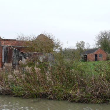
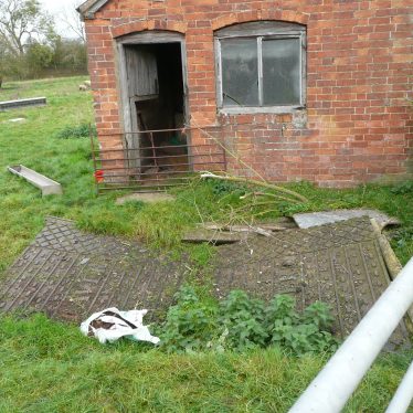
Shuckburgh Wharves, Lower Shuckburgh. Between the main road and canal by the road bridge. 2017.
Image courtesy of William Arnold
Shuckburgh Wharves, Lower Shuckburgh. Between the main road and canal by the road bridge. 2017.
Image courtesy of William Arnold
Description of this historic site
Shuckburgh Wharves, the site of canal wharves, where vessels would have loaded and unloaded during the Imperial period. They were located 150m north of Lower Shuckburgh Church. They are marked on the Ordnance Survey map of 1905.
Can you help?
Notes about this historic site
1 The wharves are marked on the OS 25″ of 1905 in the above positions on the Oxford canal at Lower Shuckborough. Each appears to have some associated buildings.
2 Westerley wharf has a two-storey redbrick warehouse. In the entrance is a disused weighbridge marked ‘M&T Avery’ and an office. To the east of this is a second group consisting of a small two-storey redbrick building, possibly stabling, and a large redbrick house possibly also associated with the canal.
- For the sources of these notes, see the
- Timetrail record
- produced by the Historic Environment Record.


Comments
Add a comment about this page