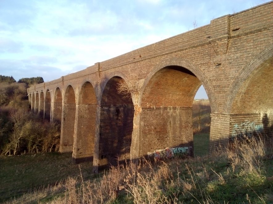
Site of (?) Staverton Viaduct
Description of this historic site
The site of Staverton railway viaduct which was built during the Imperial period. The viaduct carried the Great Central Railway line over the River Leam. It is marked on the Ordnance Survey map of 1906 and was situated 800m north east of Newbold Grounds.
Can you help?
Notes about this historic site
1 A nine arched stone viaduct carrying the Great Central Railway over the River Leam.
2 Demolished (?). “At Staverton a gaping hole has been left by the demolition of what was an impressive structure…”
3 The location of the viaduct is shown on the OS 2nd edition 6″ map.
- For the sources of these notes, see the
- Timetrail record
- produced by the Historic Environment Record.


Comments
This is Catesby Viaduct, Staverton viaduct was demolished.
Add a comment about this page