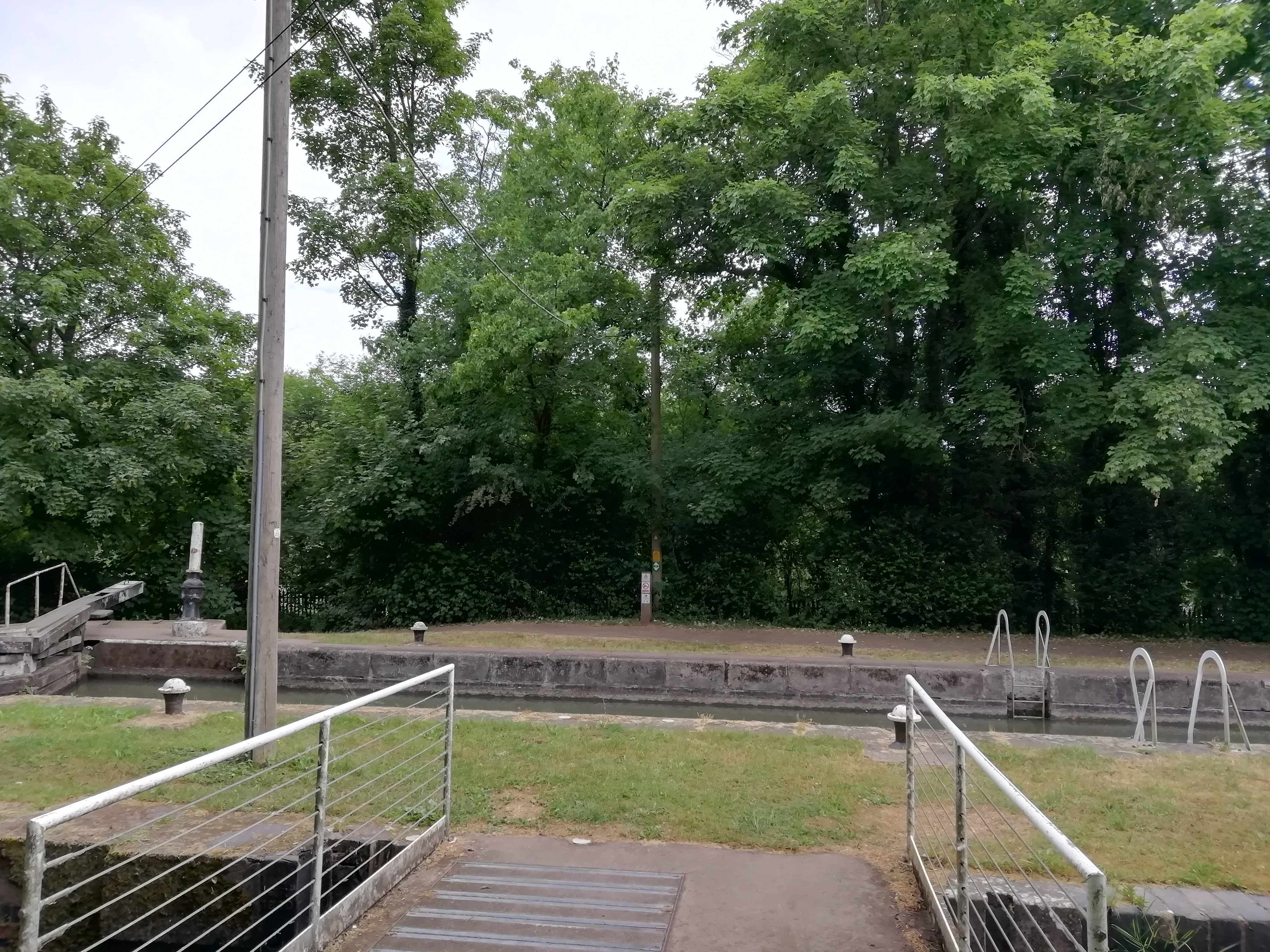
Canal Lock Houses West of Butt Bridge

Site of Canal Lock Houses West of Butt Bridge, Radford Semele
Image courtesy of Gary Stocker June 2020
Description of this historic site
The site of canal lock houses which were built during the Imperial period and which are marked on the Ordnance Survey map of 1886. They were situated 100m south west of Butt Bridge.
Can you help?
Notes about this historic site
1 Canal lock houses marked on OS map of 1886.
- For the sources of these notes, see the
- Timetrail record
- produced by the Historic Environment Record.


Comments
Add a comment about this page