
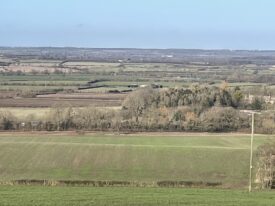
When I started working at the Warwickshire Museum in 1999, casual conversations with members of the local geological community revealed a popular theory concerning the landscape and (relatively) recent geological history of southern and eastern parts of our county. This was all about ‘Lake Harrison’, the idea that parts of the midlands had been covered by a vast glacial lake roughly 150,000 – 300,000 years ago. On investigating the roots of this story, I discovered that key evidence came from scattered patches of what were seen as lake sediments around the county and a subtle landscape feature, thought to represent an ancient wave-cut cliff line.
Initial concept
The concept of this lake had been put forward by Jerome Harrison, a midland geographer, in the late 19th century. It was later expanded upon in the 1950s by the eminent Birmingham geologist Frederick Shotton, who named the lake after Jerome Harrison. However, a spanner was soon to enter the works. In the 1970s, specialists from the British Geological Survey were investigating rock cores extracted from boreholes in northern Oxfordshire.
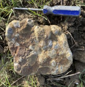
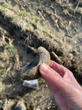
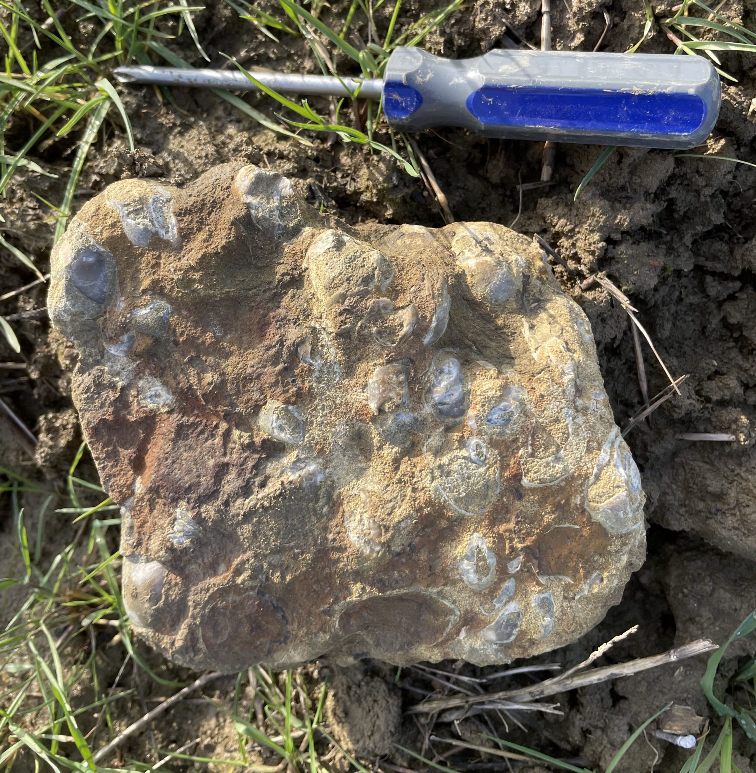
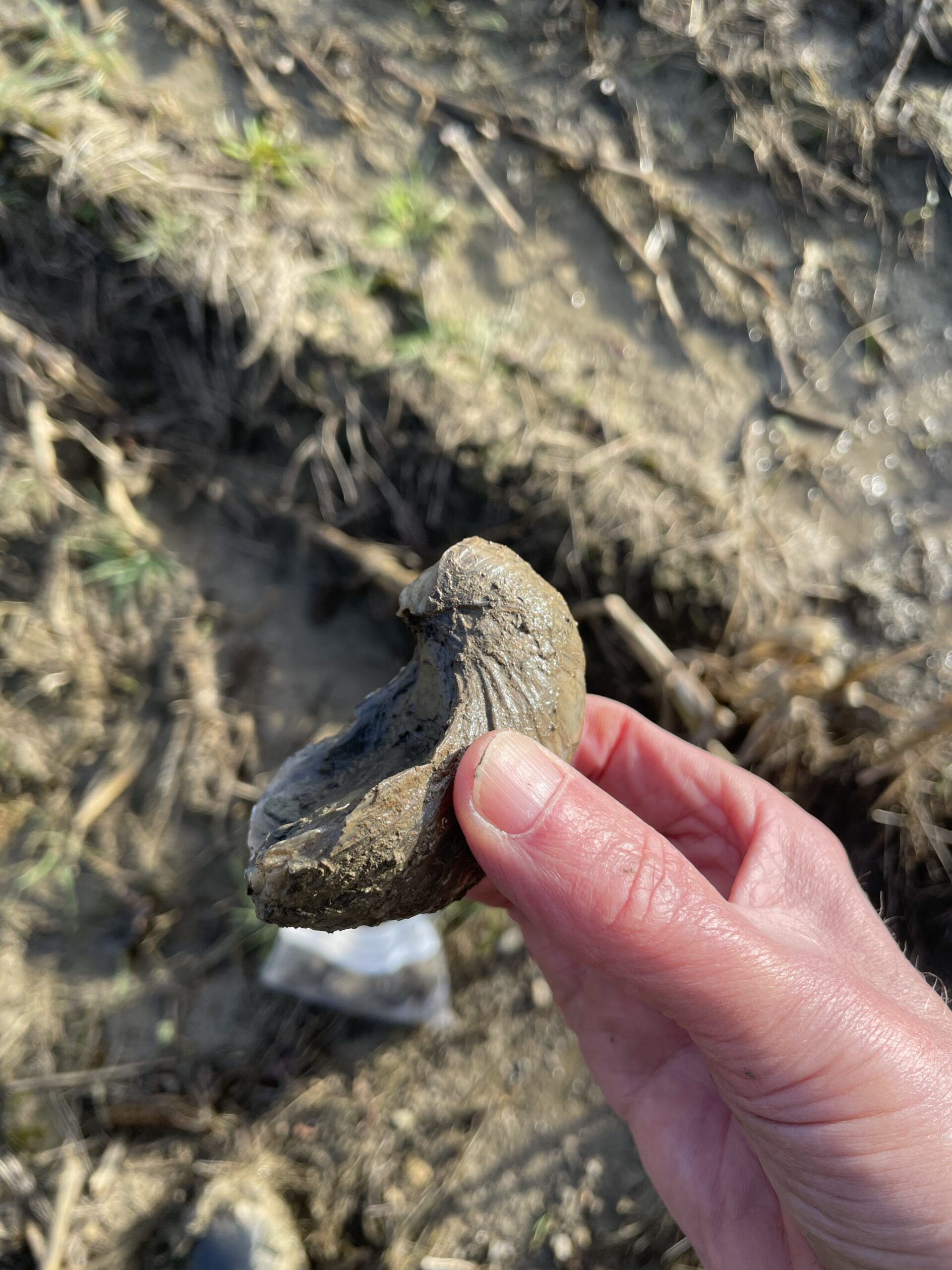
Clay strata of Lower Jurassic age (roughly 190 million years old) revealed thin beds of hard limestone made up of fossil shells, including the familiar devil’s toenails; thick-shelled oysters that frequently swarmed on central England’s Early Jurassic seafloor. At around the same time, British Geological Survey surveyors close by in southern Warwickshire discovered the very same limestone beds at the surface, forming slight ledges or banks along the hillsides at around 120 m, suspiciously coincident with Lake Harrison’s ‘shoreline’.
A ripple in the Warwickshire landscape
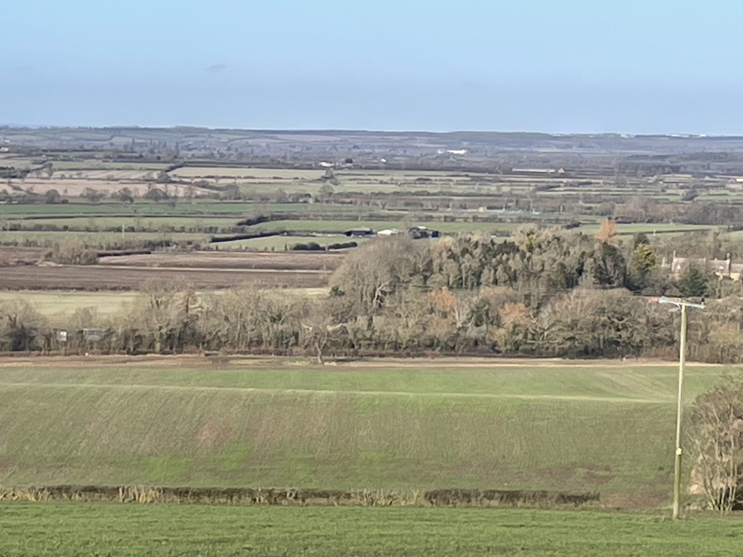
It seemed increasingly likely, to the British Geological Survey at least, that the supposed shoreline feature was nothing more than a ripple in the Warwickshire landscape underpinned by one or more hard rock bands. Further doubt on the viability of the lake was cast in the 1980s by Doug Harwood of the University of Warwick, who suggested that some of the earlier-identified lake sediments might have been deposited by rivers or melting ice. By the 1980s, experts at the British Geological Survey were downgrading Lake Harrison to a marshy landscape featuring shallow ponds and other water bodies. Nevertheless, the idea of an imposing midlands Lake Harrison was very much alive and kicking amongst local enthusiasts, when I started at the museum.
So, what of those limestone beds initially encountered in the Oxfordshire boreholes? I’ve been tramping around southern and eastern Warwickshire for a quarter of a century now and have encountered them in several places – Napton-on-the-Hill, Edge Hill and Upper Tysoe for example. The actual rock beds are only rarely exposed. Normally, they reveal themselves as spreads of stone fragments and associated fossils in deeply ploughed fields on the hillsides, frequently (but not always) around the 120-metre map contour. They evidently formed as shell banks in a shallow sea. Some of the more complete shells, notably the ‘devil’s toenails’, have been nibbled at by sea urchins and sea-snails, scraping algae for food in the sunlit shallows. This is in direct contrast to the thick clay beds above and below the lmestones, which accumulated as muddy ooze in relatively deep, murkier water. So, there’s another story here – one of changing sea-levels 190 million years ago – but that will have to wait for another day.
Dead in the water?
I’m no expert on glacial lakes but I do suspect that Lake Harrison might not be completely dead in the water. At Upper Tysoe for example, the bench feature is at its strongest along a hillside that seems to be devoid of the tell-tale limestone and fossil debris, which is associated with a much weaker feature, further down the hillside. So, for the moment at least I’ll keep an open mind, and will keep on looking.





Comments
Add a comment about this page