Bascote Wharf 350m N of Bascote

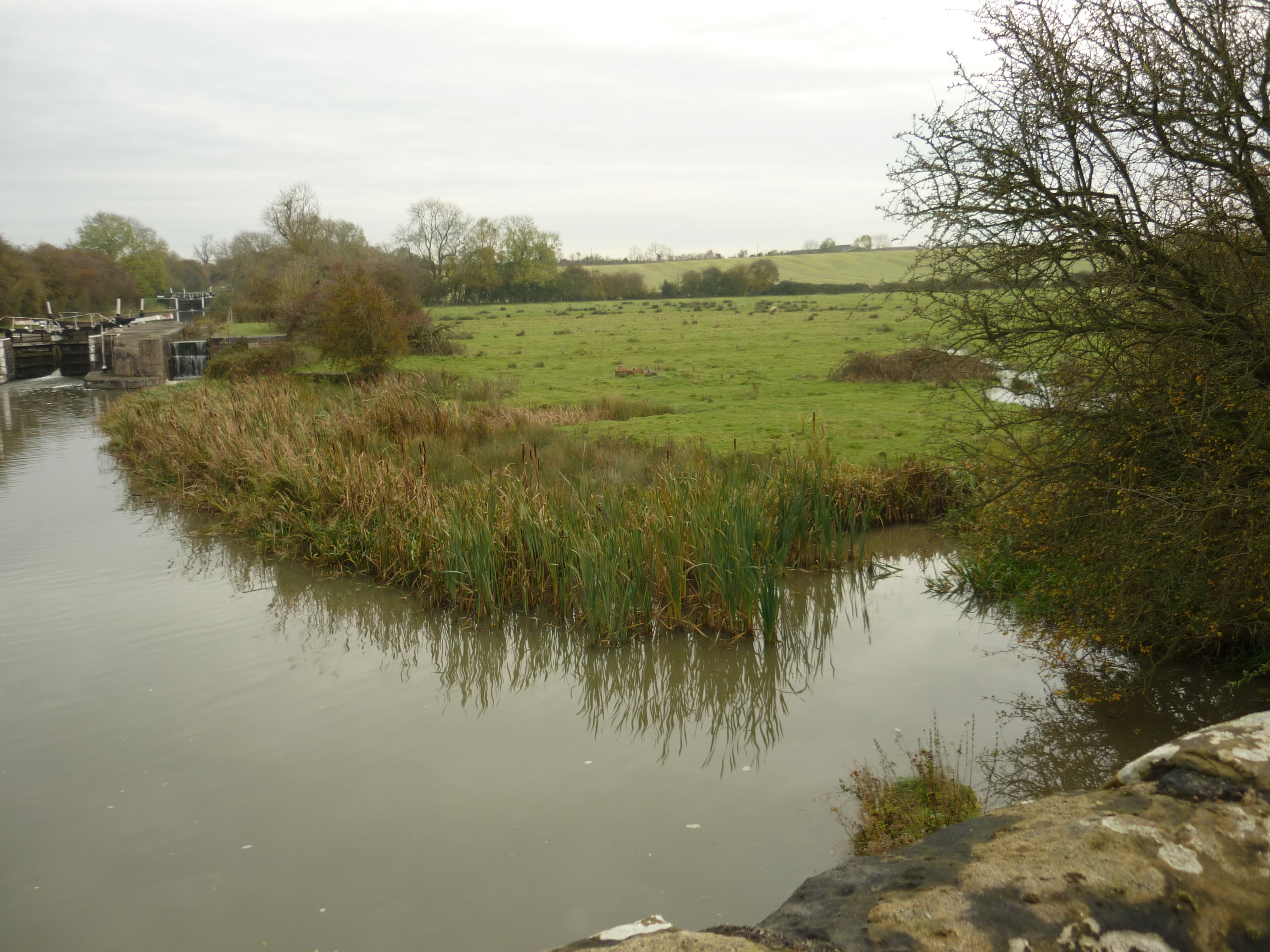
This may be the site of Bascote Wharf. It is at the Leamington end of the Bascote Locks. 2019
Image courtesy of William Arnold
Description of this historic site
The site of Bascote Wharf, a canal wharf, where vessels would have loaded and unloaded goods during the Imperial period. It was located 350m north of Bascote, and is marked on the Ordnance Survey map of 1886.
Can you help?
Notes about this historic site
1 Shown on the 1886 OS map at the above grid reference on the Warwick and Napton (Grand Union) canal.
2 The wharf is derelict and apparently long since disused. There was no sign of buildings or equipment.
- For the sources of these notes, see the
- Timetrail record
- produced by the Historic Environment Record.


Comments
Add a comment about this page