Fancott Drive
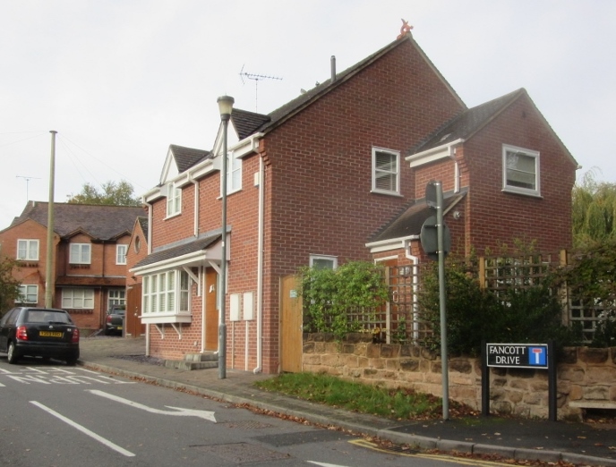
Fancott Drive, 2015 Photograph by Sam Sexton
Notice at 4 Fancott Drive
Photograph by Sam Sexton
This was first recorded in 1987 and was developed by the High Street bakers A.S. Fancott (established 1825) at the rear of the bakery, over an existing lane generally known as Fancott Drive.
Malthouse Lane
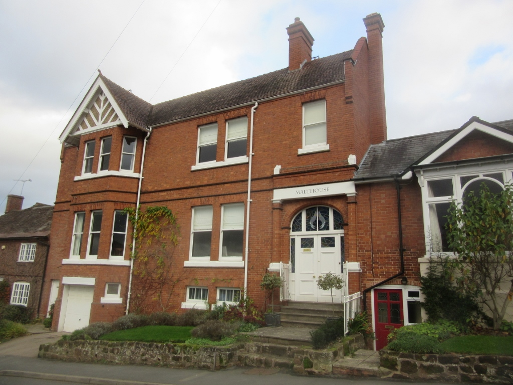
The Victorian-rebuilt Malthouse
Photograph by Sam Sexton
This was an “intended road” at the Inclosure Award in 1756. It was Quarry Lane in Census returns until 1871, when it became Malthouse Lane. The Malthouse has been reconstructed as a large Victorian house, but the maltster’s cottage still exists as Castle Hill Cottage.
Woodcote Avenue
This is part of a development started in 1964 by H.G. and T.W.H Smith, as associate firm of Thomas Bates, so is most likely named after Woodcote Park golf course near Purley; Thomas Bates hailed from Surrey. Sunningdale Avenue is also named after a golf course.
High Street
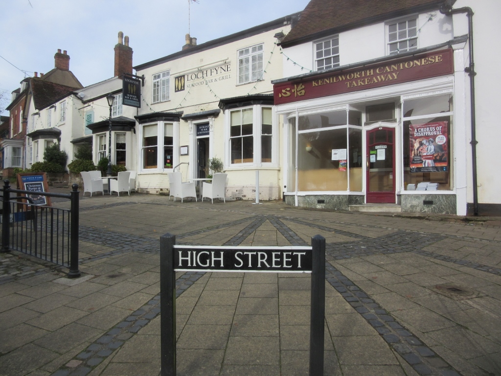
High Street, Kenilworth, 2015. Photograph by Sam Sexton
This was formerly Alta Strata, being on high ground above the Abbey, so doesn’t have the conventional meaning of the main shopping street of a town. Part of it was Church Street in 1692, but it was High Street in the 1830 directory. It widens towards the traffic lights, forming the typical funnel shape of a medieval town, in this case a market square for the Augmentation Borough.
[mappress mapid=”738″]
This is part of a short series of edited extracts from the third edition of A Portrait of Kenilworth in Street-Names by the authors named above and are reproduced with permission from Robin Leach.


Comments
In the second bombing of Coventry – they offloaded their bombs on Hyde Road. One bomb actually fell between two houses, so luckily no-one was injured. Another bomb fell on a road, and sadly killed and man and child and left a lady without an eye. I also remember stray machine gun fire hitting a house in the road, and hitting a man badly in the legs. Rather than taking cover when the machine gun fire started, he was running around shouting for his wife – so he got hit.
Add a comment about this page