
Linear feature on Aps
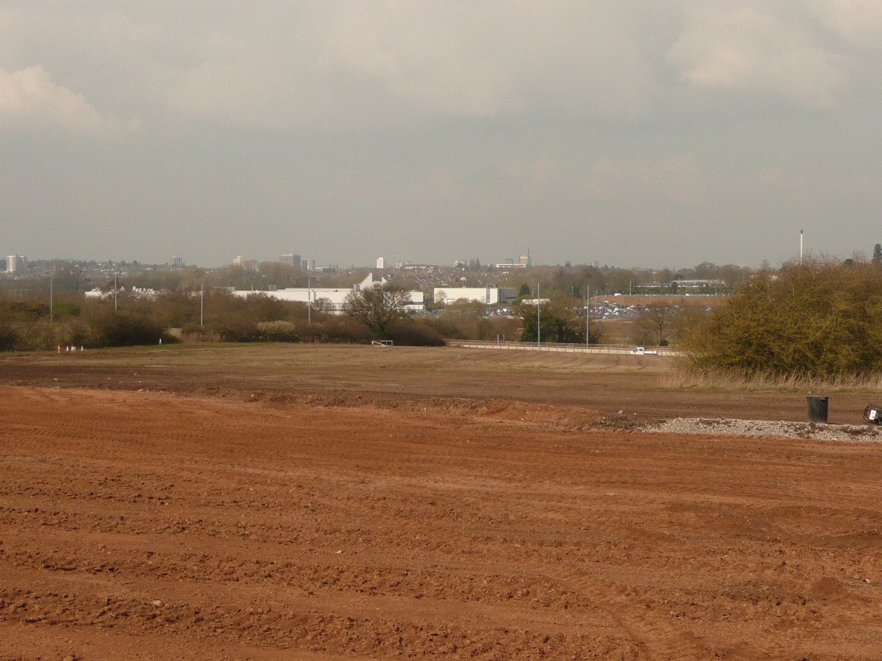
This is the view before the Linear feature. On the right are filled in ponds, the hedge line has a spring in it which cuts deep on the other side of the A45 and might have made a gully, filled in when the A45 was built.
Image courtesy of William Arnold
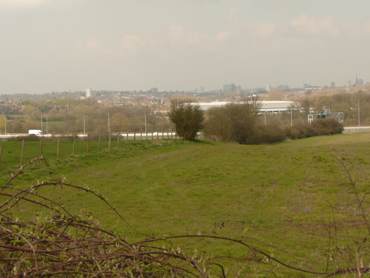
This I think lines up with the linear feature. The fence before the hedge row is at a different height on each side, and on the left is the farm. All this area will soon be built upon by Jaguar/Landrover.
Image courtesy of William Arnold
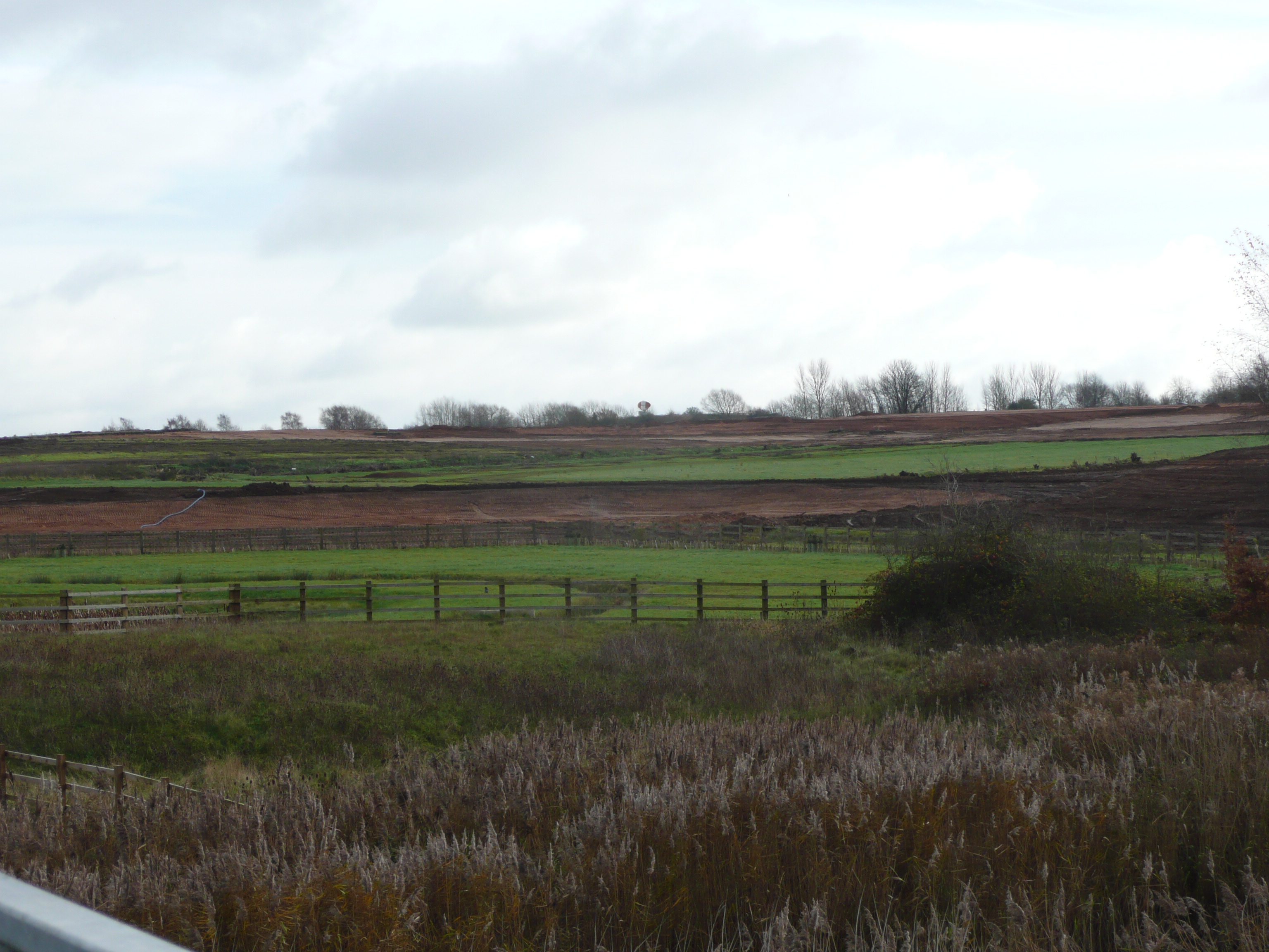
Linear feature on Aps, 2017.
Image courtesy of William Arnold

Linear feature on Aps, 2017. Greenfield gone brown.
Image courtesy of William Arnold
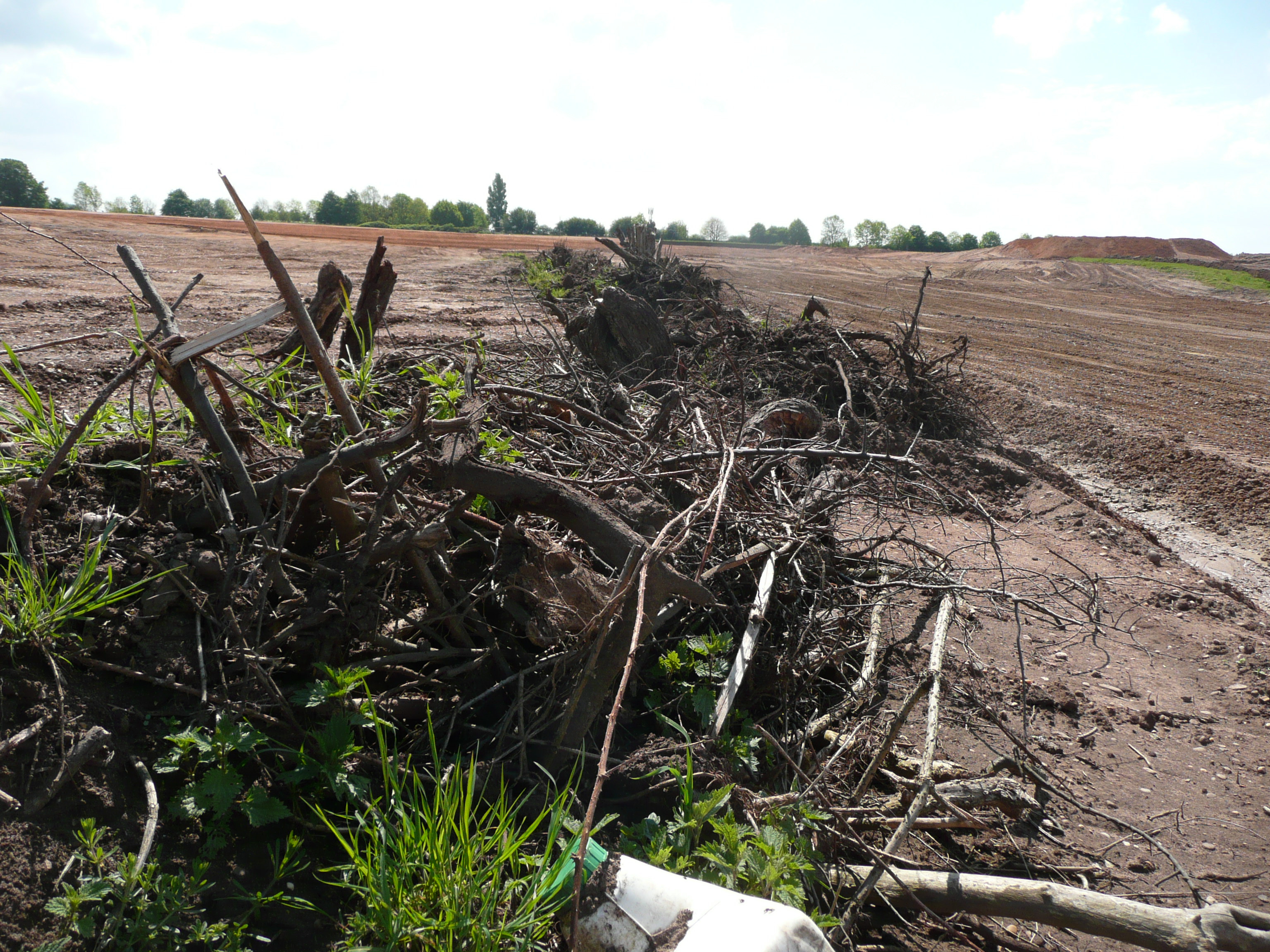
April 2018 looking south. A grubbed up hedge between the A45 and the airport.
Image courtesy of William Arnold
Description of this historic site
Linear feature visible on APs, probably a fairly modern path but may relate to the Lunt RB fort.
Can you help?
Notes about this historic site
1 Broadly SW NE linear feature visible on Aps. Appears to align with the gateway to the Lunt Romano-British fort at the westeren end but at the eastern end appears to respect modern field boundaries. Probably a relatively modern path but might be older.
- For the sources of these notes, see the
- Timetrail record
- produced by the Historic Environment Record.





Comments
The Coventry District ‘A Naturalists Guide’ (published 1960, pre Lunt excavations, page28) states the sole remains of the Baginton settlement are the collections of pottery and coins found in the sandpits and now in Coventry Museum. It seems likely that here was a large farm or villa which must have been close to the many rubbish pits and wells near Home Farm. The Lunt fort does not preclude a villa which might have a trackway connected to the fort.
Add a comment about this page