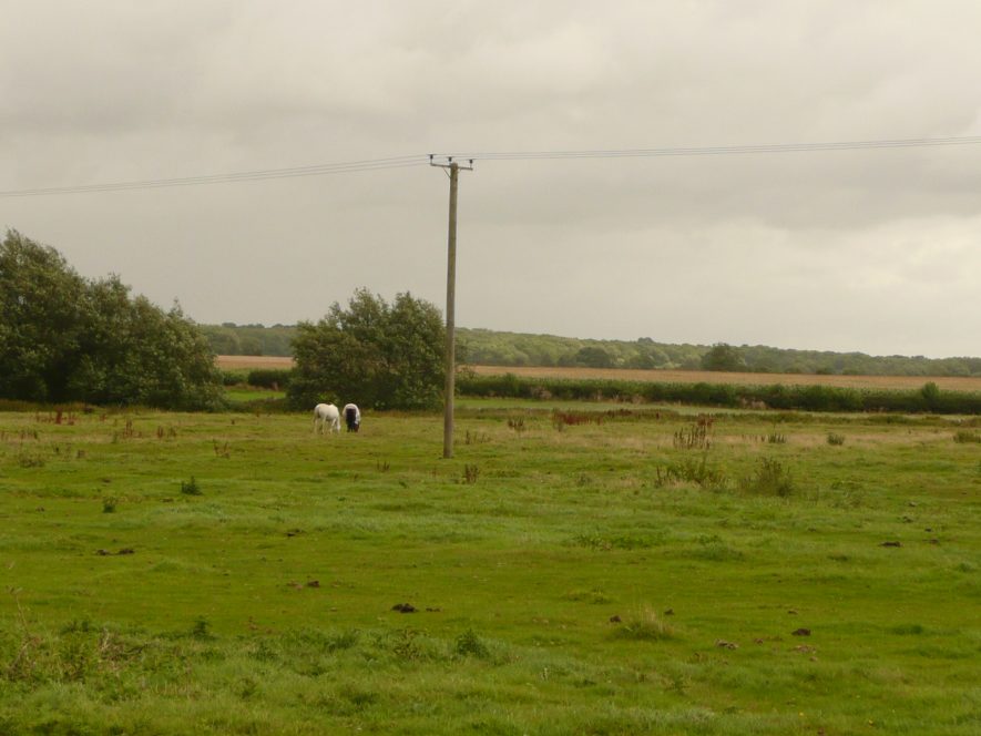
Ditches beside the River Avon at Bretford
Description of this historic site
Interconnecting linear Ditches can be seen on aerial photographs 100 mto the east of the bridge at Bretford.
Can you help?
Notes about this historic site
1 Interconnecting linear Ditches seen on aerial photographs 100m to the east of the bridge at Bretford were mapped as part of the English Heritage National Mapping Project.
2 These would appear to represent drainage ditches, or water meadows given that the run from/to the River.
- For the sources of these notes, see the
- Timetrail record
- produced by the Historic Environment Record.


Comments
When I visited Bretford, I thought that the features I viewed looking east from the roadside before Bretford bridge were ridge and furrows. The banks seem too wide for a watermeadow irrigation feature. I would assume that a drainage feature would not be banked up, just a ditch with the spoil spread out.
Add a comment about this page