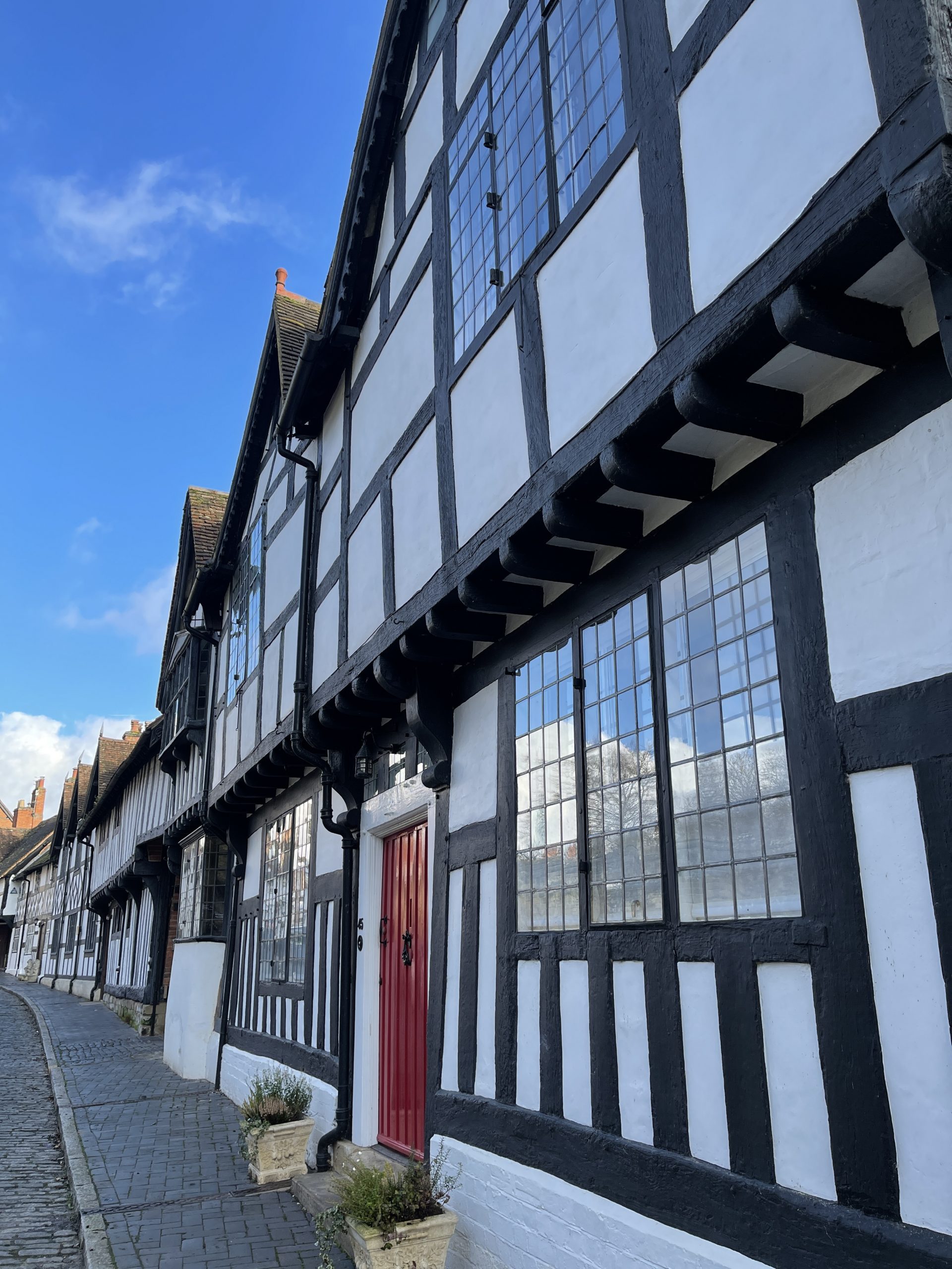
Warwick Eastern Medieval Suburb

Medieval suburb stretching out east from Warwick including Smith Street, Church Street, Chapel Road, Priory Road, Gerrard Street, St Johns, Coten End and Mill Street.
1 Likely that the suburb was well developed by 1123.
The earliest mapping from the 1610 Speed map shows built up frontage of the streets within the suburb while the 1711 Fish and Bridgeman map shows more detail in relation to tenement plots.
2 Medieval suburb stretching out east from Warwick including Smith Street, Church Street, Chapel Road, Priory Road, Gerrard Street, St Johns, Coten End and Mill Street.
3 Observation with the projected extent of the suburb recorded a buried soil possibly associated with the use of this area as fields in the medieval/post-medieval periods.
4 Further excavation in Smith Street revealed a complex of medieval features, including a medieval pit with 13th-16th century pottery as well as a possible medieval wall.
- For the sources of these notes, see the
- Timetrail record
- produced by the Historic Environment Record.


Comments
Add a comment about this page