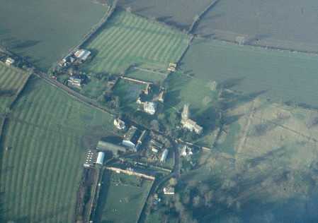
Shrunken Medieval Settlement W of Hall Farm, Ladbroke.
Description of this historic site
An area of Medieval shrunken village which is visible as a series of earthworks. The remains represent three houses which border the ridge and furrow. These houses are not marked on the Ladbroke map of 1639. The site is located 200m north of Dovehouse Spinney.
Can you help?
Notes about this historic site
1 The grass field to the W of Hall Farm shows what appear to be earthworks of at least three houses merging into ridge and furrow. If they were houses, they had disappeared by 1639 as they are not shown on an estate map. This could be the site which was depopulated in about 1608 when Sir Robert Dudley depopulated sixteen houses and 500 acres.
2 Ridge and furrow survival in the parish of Ladbroke.
3 Field record sheet from 1972.
- For the sources of these notes, see the
- Timetrail record
- produced by the Historic Environment Record.


Comments
Add a comment about this page