Ridge and Furrow with Headland or Hollow Way

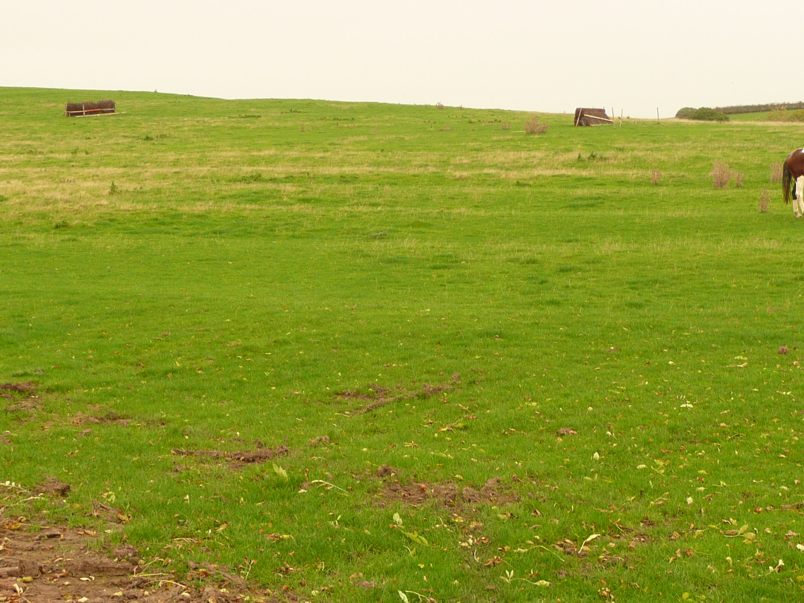
This patch of ridge and furrow is adjacent to the footpath from Frankton to the Fosse Way north of Marton at the base of Mill Hill. 2017.
Image courtesy of William Arnold
Description of this historic site
An area of ridge and furrow cultivation of Medieval date and a possible hollow way. The remains are visible as earthworks and are situated at the north end of Marton.
Can you help?
Notes about this historic site
1 Air photograph.
2 Ridge and furrow cultivation and a headland or possible hollow way observed on site visit (Also see WA 3185).
3 On the very edge of ridge and furrow plotted for the parish of Frankton. This area is now occupied by farm buildings.
- For the sources of these notes, see the
- Timetrail record
- produced by the Historic Environment Record.


Comments
Add a comment about this page