A hollow way at Bretford
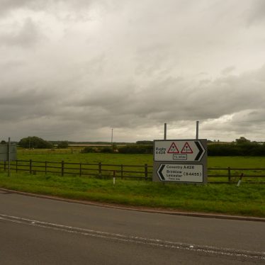
Looking north easterly from the junction of the B4455 and the A428 south of Bretford
William Arnold
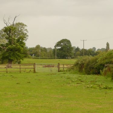
Loking northerly from the A428 south of Bretford (note the Electricity poles)
William Arnold
Description of this historic site
A hollow way can be seen on aerial photographs on the sothern bank of the River Avon 50m to the east of the B4029 Fosse Way near to Bretford Bridge.
Can you help?
Notes about this historic site
1 The hollow way seen on aerial photographs on the sothern bank of the River Avon 50m to the east of the B4029 Fosse Way, near to Bretford Bridge and was mapped as part of the English Heritage National Mapping Project. The 200m of Holloway curves across the meadow parrallel to the current route of the Fosseway and appears to terminate close to the possition of a medieval bridge (MWA4255) Approximately half way along path of the holloway there are two mounds which, look like dumps of spoil of unknown origin.
- For the sources of these notes, see the
- Timetrail record
- produced by the Historic Environment Record.


Comments
Seems slightly problematic the land to the south of the river east of the Fosse Way is flat and liable to flooding, a hollow way would have to dip and rise. The “spoilheaps” may be from a modern excavation mistaken for a hollow way. East of Bretford bridge can be seen a track leading to a ford like area of the river, which might represent an earlier route of the Fosse Way connecting to the “hollow way”. The line of Bretford bridge certainly represents a deviation of the Fosse Way – perhaps the “nunnery” reported at Bretford was built at the strategic point of the Fosse Way river crossing, and the road was later deviated to run outside its bounds.
There is an actual hollow way just to the north of here, the bridleway that connects Bretford to Brinklow. It continues due north from the A428 as it intersects with the B4455. The pathway is significantly lower than the fields on either side and stands as testament to the centuries of foot, horse, and cart traffic between the two villages.
Add a comment about this page