Honiley Medieval Settlement

Description of this historic site
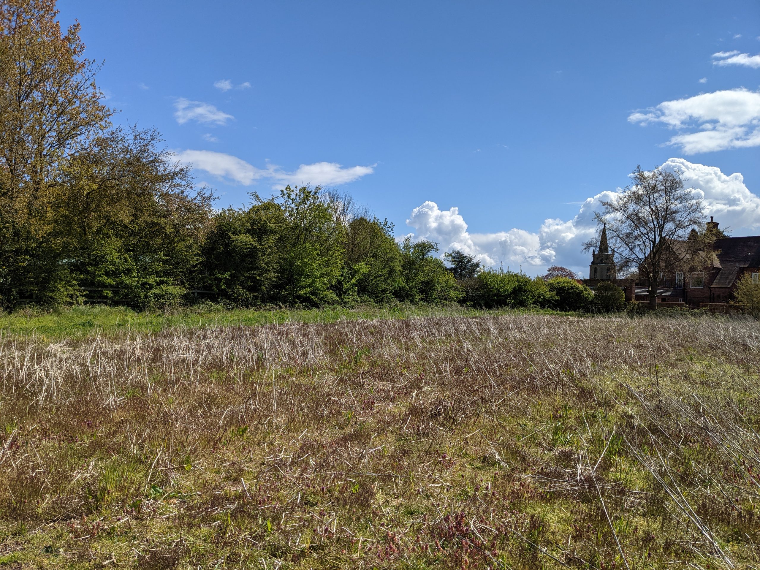
The probable extent of the medieval settlement at Honiley, based on the Ordnance Survey map of 1886.
Can you help?
Notes about this historic site
1 The probable extent of the medieval settlement at Honiley based on the OS map of 1886, 25SE.
2 The 1886 map shows very little settlement, though there does seem to be a boundary hedge on the northern side. It records the two moated sites [WA 2618 and WA 2620] and St John’s Well [WA2617]. The village is not listed in Domesday, but there was a medieval church [WA5237]. There is a possible site of shrunken settlement to the east of the church [WA2615], and the aerial photo on the mapdata shows a little ridge and furrow survival NW of St John’s Well.
- For the sources of these notes, see the
- Timetrail record
- produced by the Historic Environment Record.


Comments
Add a comment about this page