Whenever you look at a map on this website, you can overlay the map with a range of historic Ordnance Survey maps. Other overlays allow you see the county boundary and parish boundaries of Warwickshire.
To see the historic maps:
1. Go the list of all Locations or all Subjects.
2. Choose a location or subject.
3. Choose the Map View tab. You’ll see a map like the one show in the screenshot below.
4. Click on the blue button marked ‘View historic maps’ and then choose an overlay.
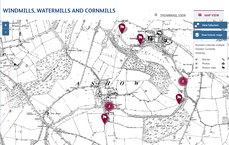
Screenshot showing sample overlay of historic map. Markers show locations of windmills and watermills.
Some of the overlays only cover Warwickshire, so that if you are zoomed out, you will see the edges of the overlay.


Comments
Add a comment about this page