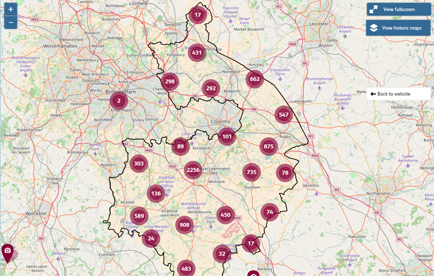
This website includes a map showing the whole of Warwickshire, with over 20,000 photos, historic sites and articles on the website marked on the map.
To view this map:
Go the county-wide map page. You’ll see an initial view of the map similar to the one shown in the screenshot below. As you can imagine, all the markers take a little while to load.

Screenshot of county-wide map showing all of Warwickshire. The circles with numbers indicate the location of multiple markers on the map. Click on the clusters to zoom in.
Help with using this map
You will see the numbers in the round circles or ‘clusters’ (which indicate multiple markers) gradually increasing as the map loads. You can click on the clusters to zoom in and see the markers at that location. You don’t need to wait until the map has fully loaded before you click on a cluster.
By default, the map will initially show you just photos and articles. You’ll can also view historic sites by clicking on the checkbox in the list on content types.


Comments
Add a comment about this page