Woodford Lodge Farm Moat
A moat, a wide ditch surrounding a building. It is Medieval in date and is visible as an earthwork. The moat is situated 1km west of Caldecote.
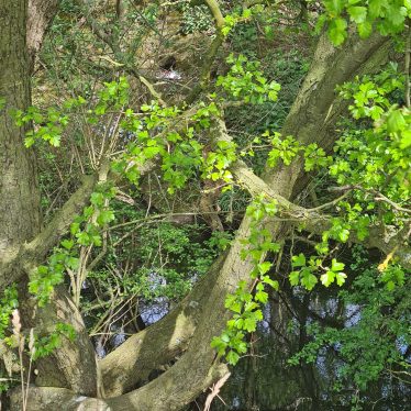
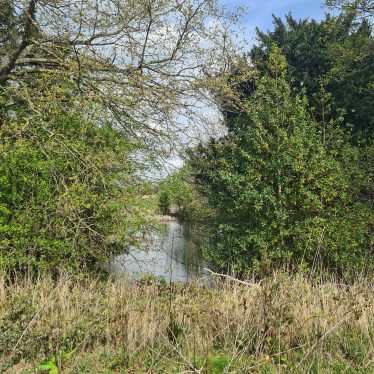
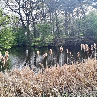
1 A homestead moat, surrounding a raised central area, now covered by fir trees. There are signs of masonry within the enclosed area. The moat is waterfilled and its general condition good.
2 The moat is as described. The area is covered in dense undergrowth and trees, which cover any signs of masonry that there may be.
3 An entrance exists in the NE corner and traces of brickwork which revet the moat survive on the S and SE. There is standing water in the ditch. The dimensions are about 80 by 65m and the ditch varies from about 22m to 5m in width and is about 2.5m deep.
4 Photographs.
5 A F Cook states – ‘Park House and farm, there are Jee’s papers at Warwick Records Office and Joan Allen’s research implies an early C17 or even earlier (structure). I have field walked after ploughing – there are many Hartshill Quartzite blocks and Bromsgrove Sandstone Ashlar frags.’
6 Seven maps that relate to Alan Cook’s letter of April 1995.
7 A map that relates to 5.
8 Anotated photocopies of 6.
9 Letter to A.F. Cook
10 Photocopies of APs that cover the sites listed in 5.
11 Photocopies of old maps that cover the sites listed in 5.
12 Photocopies of maps that cover the individual sites listed by Alan Cook in 5.
- For the sources of these notes, see the
- Timetrail record
- produced by the Historic Environment Record.


Comments
Add a comment about this page