Undated trackway

Description of this historic site
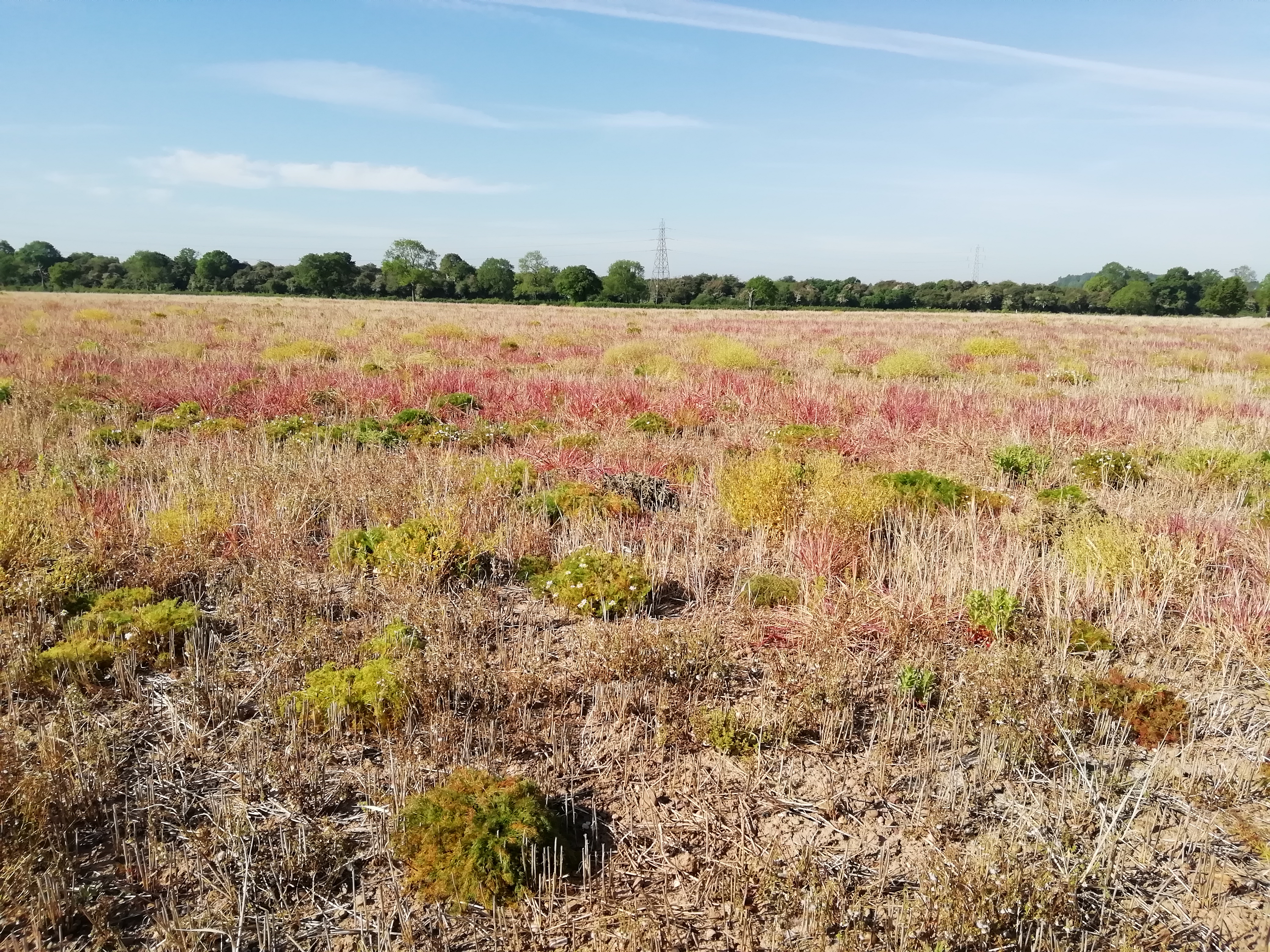
A trackway of unknown date is visible as a crop mark on aerial photographs. It is situated 600m south of Pounce Hill Farm.
Can you help?
Notes about this historic site
2 Undated road shows on aerial photographs.
- For the sources of these notes, see the
- Timetrail record
- produced by the Historic Environment Record.


Comments
Add a comment about this page