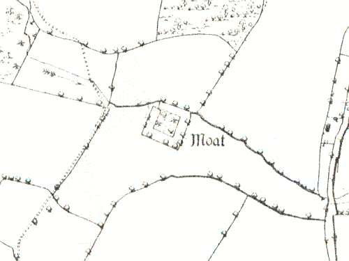
Moat 600m S of Lapworth Park
A moat, a wide ditch usually surrounding a building, of Medieval origin. It is visible as an earthwork, though overgrown. It is situated 600m south of Bushwood Lane, Lapworth.
1 A ‘mansion’ is recorded at the beginning of the reign of Edward I (1272-1307). It is not improbable that the moat to the W of Bushwood Hall marks the site.
2 1968: The moat is waterfilled and the island is inaccessible. There is no trace of a causeway. 1976: Water-filled moat in valley situation fed by stream on N side. 60m square overall. The arms have an average width of 13m and the average height of the island above water level is 1.5m.
4 The moat is still wooded and overgrown. The E side is partly silted, and the 19th century tithe map shows an entrance here.
5 The site survives well and the area is free from modern development. The moat was cleaned in 1987 but lower levels of the silt will retain evidence of the site’s occupation.
- For the sources of these notes, see the
- Timetrail record
- produced by the Historic Environment Record.


Comments
Add a comment about this page