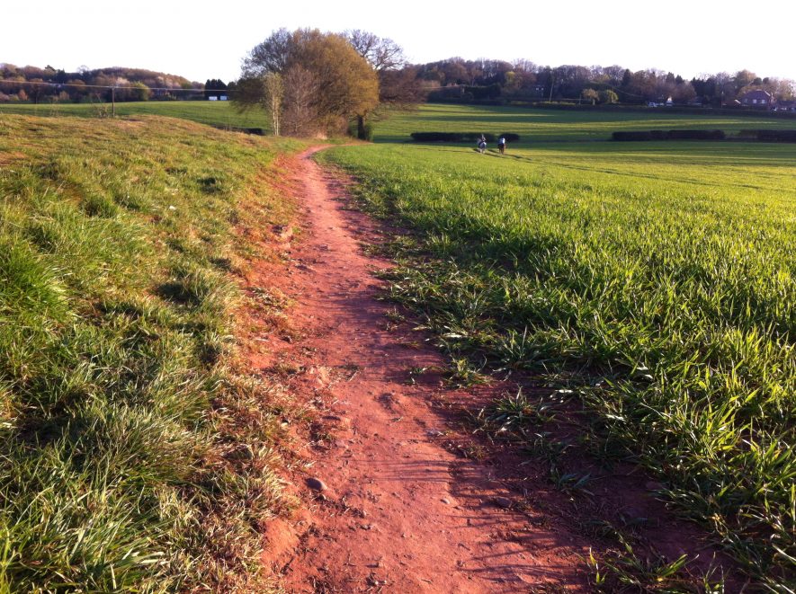
Corley Camp
Corley Camp, an Iron Age hillfort which is visible as an earthwork. It is situated on Burrow Hill, 200m east of Corley.
1 An approximately square earthwork of about 4 ha, defined partly by modern precipices and partly by artificial earthworks. The latter are weather-worn and altered by cultivation. The rampart varies from 1-3.3m high and is about 9.8m wide at base. The ditch is only visible on the S side. A NW entrance may be original.
2 Much obliterated by quarrying on two sides and by ploughing elsewhere. Bank and ditch are well marked on SE. SW has been almost ploughed out. About a quarter of the bank on NW has been removed by quarrying. NE side partly quarried and partly well preserved. Excavated in 1923. Trench 13.8m by 1m on SE bank indicated a roughly formed wall of two to three courses with evidence for timbers set along wall and at right angles. 1926: a length of 36m was exposed on NW side where probable entrance was thought to be. Line of stones on face of wall recovered. About 60m from W angle a possible entrance 8.2m wide was located. A trench also parallel to NW face and 39.5m inside – this proved to be unproductive. Another trench 46m from NE side in interior of camp produced traces of possible circular huts formed of stone, but with no trace of floors or hearths. A few pieces of possible Iron Age or Romano British pottery were found.
3 Of Iron Age ‘B’ date, but occupation was slight. The rampart was of earth faced with coursed masonry, reinforced with lengthwise and crosswise timbering.
4 Modern farming is quickly removing the greater part of the hillfort, although the remains are still impressive.
5 In 1981 the interior was under plough. The NE rampart shows signs of having been bivallate and is badly damaged by quarrying, erosion and scrambling. SE rampart is poorly preserved in a field boundary but not ploughed. SW rampart is visible as a break of slope, under plough and degraded. NW has been destroyed by ploughing.
6 Early scheduling record. No date.
8 Scheduling information from 1985.
9 Rescheduled as SM 21552.
10 Material relating to a planning application in 1975.
11 Plan relating to 10.
12 Letters about the worstening state of the site.
- For the sources of these notes, see the
- Timetrail record
- produced by the Historic Environment Record.


Comments
Add a comment about this page