Undated Trackway at Edge Lane

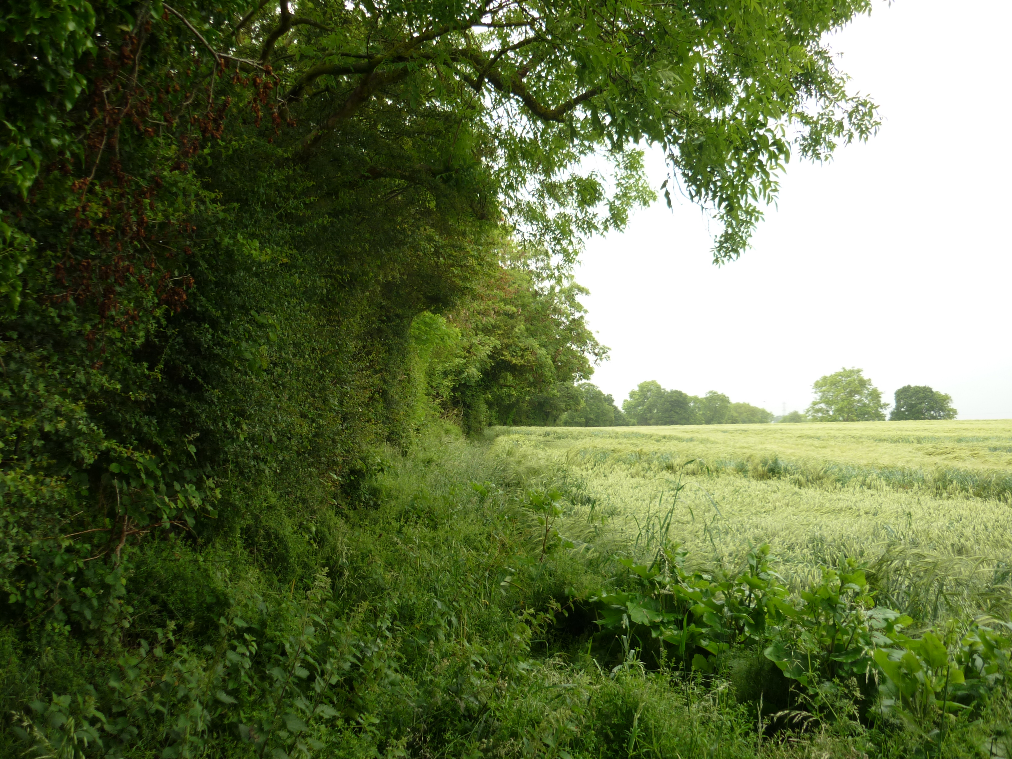
The line of a trackway, possibly dating from the Prehistoric period, exists in parts as a tarmaced road and partially as an earthwork, which is visible on aerial photographs. It runs north from Warwick Road, Henley to Camp Hill.
1 This has been variously described as Prehistoric, British, Iron Age, Roman etc. It has many of the characteristics of a Prehistoric trackway or ridgeway. It runs along the top of an escarpment close to the scarp edge most of the way, at heights mostly above 100m. It is a made road from the Warwick road to Kyte Green Farm, and from then on a track. It is cut by a railway near Buckley Green and the last 200m, leading into Camp Lane are again made road. In Camp Lane the continuation can clearly be seen as a marked depression and continues marked by hedge banks across the next three fields. At around SP1668 its course becomes indistinct.
2 At its N end at SP1668 a pronounced hollow way begins and follows a hedge line up Camp Hill. The hollow way continues as far as SP1668 and then becomes indistinct, although it could have followed the parish boundary further N.
4 The N area of hollow way shows on the RAF air photograph.
5 Date range narrowed since cannot reasonably be earlier than Bronze Age and sections are clearly still in use so must have persisted in use as a single entity well into the post RB period.
- For the sources of these notes, see the
- Timetrail record
- produced by the Historic Environment Record.


Comments
Add a comment about this page