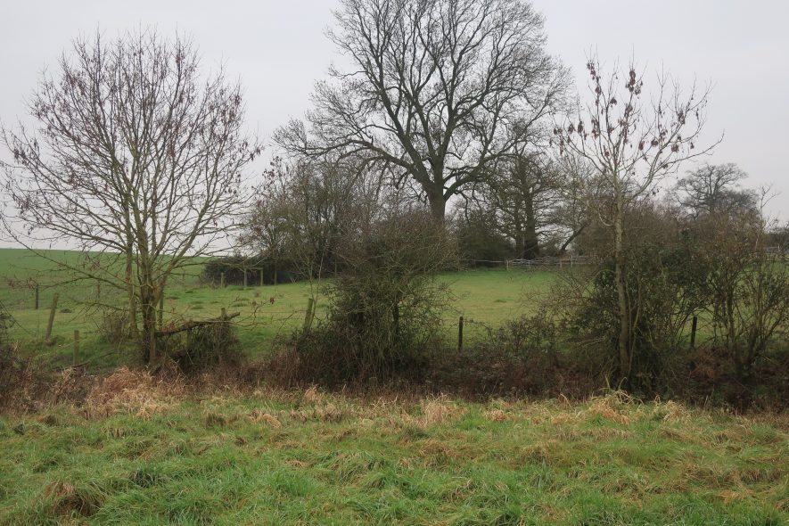
Site of undated Building 300m south east of Hill Farm
Description of this historic site
Building shown on 1st Edition Ordnance Survey Map and demolished sometime between 1970s and 1990s. Situated 300m South East of Hill Farm.
Can you help?
Notes about this historic site
1 Building shown on 1st Edition Ordnance Survey Map and demolished sometime between 1970s and 1990s. Situated 300m South East of Hill Farm.
- For the sources of these notes, see the
- Timetrail record
- produced by the Historic Environment Record.


Comments
Add a comment about this page