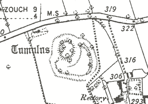
Site of Moat House Moat, Goodyers End
Description of this historic site
The site of a moat, a wide ditch surrounding a building, which was of Medieval date. It was situated 100m north east of Goodyers End, Nuneaton.
Can you help?
Notes about this historic site
1 ‘Moat Farm’, a C16 and later building (MWA6257). Surrounding the cottages is a ditch which, though now dry, was once a square moat.
2 1951: The moat, although silted up, can be traced right round the cottages. 1967: The cottages have now been demolished and the greater part of the moat filled in.
3 The only trace of this feature is in the field boundaries and the slight pond which remains at the NE corner of the former moat ditch, it having being filled in.
- For the sources of these notes, see the
- Timetrail record
- produced by the Historic Environment Record.


Comments
Add a comment about this page