Possible Cropmarks W of Hunningham

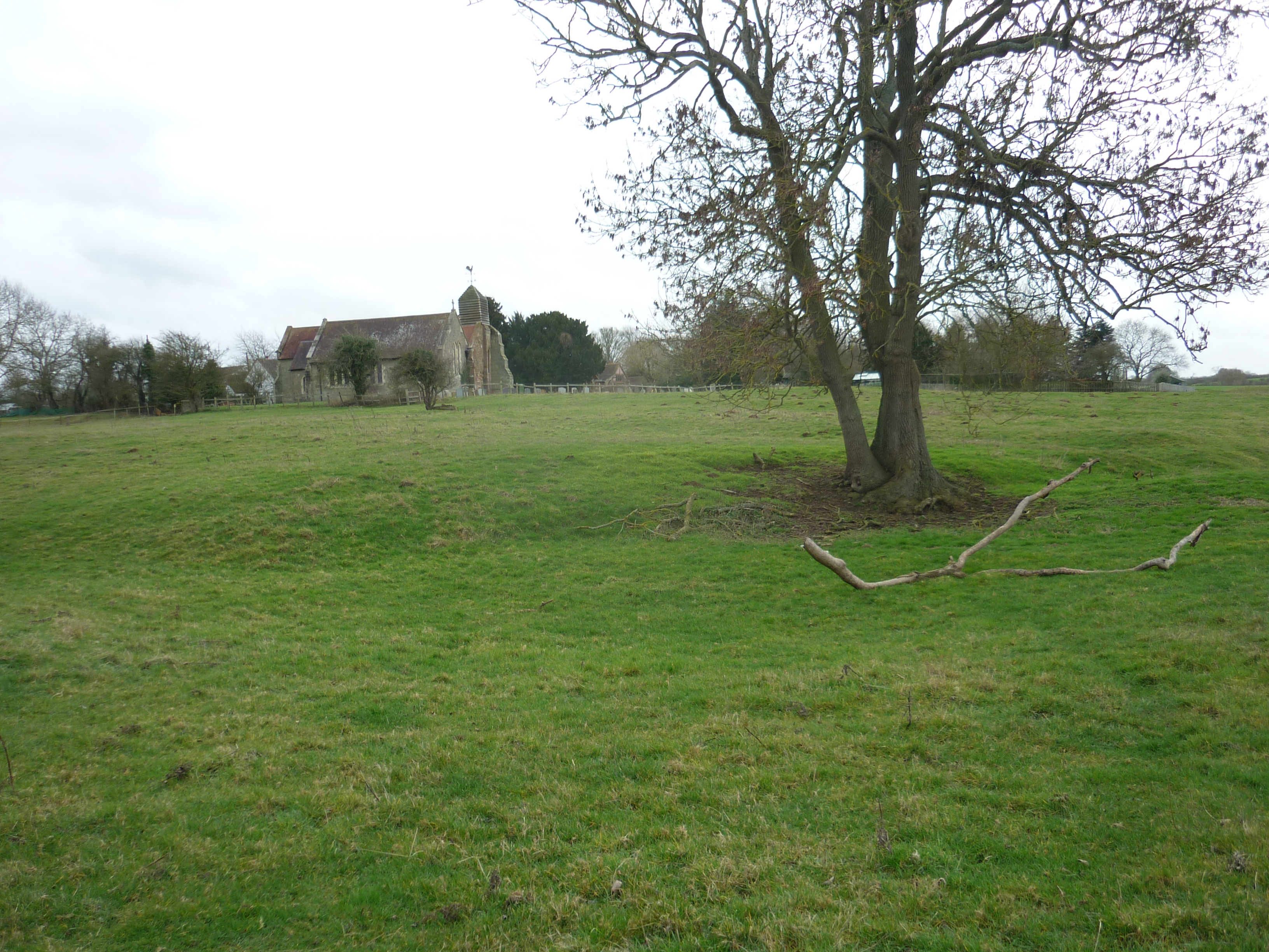
The field behind the church at Hunningham shows many irregularities and what may be housing platforms.
Image courtesy of William Arnold
Description of this historic site
Four possible linear feature are visible as cropmarks on aerial photographs. It is possible that at least one of these may be a Prehistoric pit alignment. They are located 600m south west of the church, Hunningham.
Can you help?
Notes about this historic site
1 Four possible parallel linear features show as cropmarks. At least one of the lines may represent a pit alignment.
2 This site may be of agricultural rather than archaeological origin.
3 Date of the pit alignment narrowed to within the late Bronze Age and the late Iron Age.
4 Four possible linear feature are visible as cropmarks on aerial photographs. It is possible that at least one of these may be a Prehistoric pit alignment. They are located 600m south west of the church, Hunningham.
- For the sources of these notes, see the
- Timetrail record
- produced by the Historic Environment Record.


Comments
Add a comment about this page