
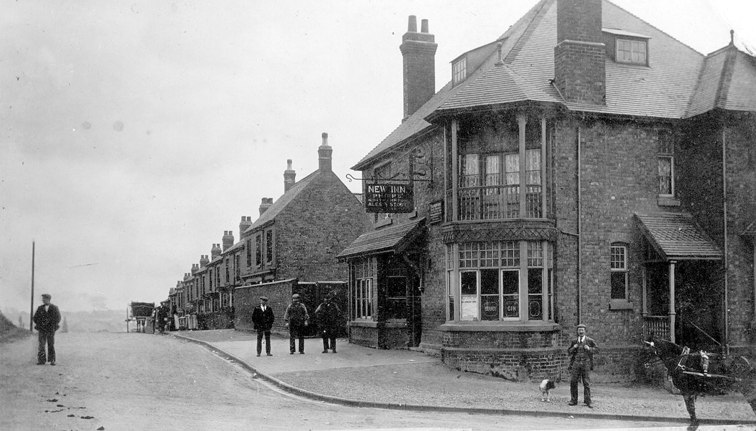
Chapel End. New Inn and Bucks Hill
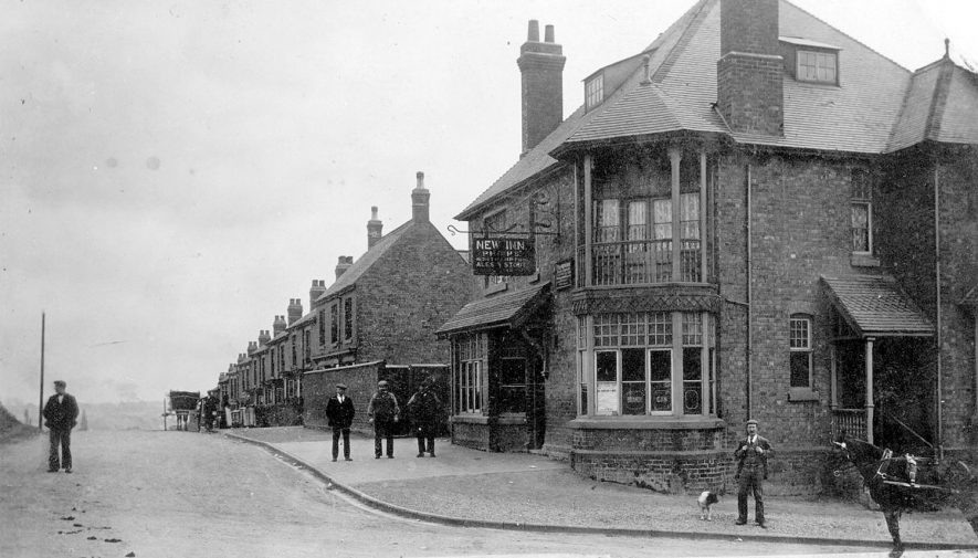
New Inn & Bucks Hill, Chapel End, Nuneaton. 1900s
IMAGE LOCATION: (Warwickshire County Record Office)
Reference: PH, 350/1670, img: 4421
This image is subject to copyright restrictions. Please see our copyright statement for further details.





Comments
This area was known as Snow Hill please refer to map: —-
Warwickshire Sheet X.NE
Surveyed: 1887, Published: 1888
Size: map 31 x 46 cm (ca. 12 x 18 inches), on sheet ca. 43 x 58 cm (ca. 17 x 23 inches)
Maps home > Ordnance Survey >
OS Six-inch England and Wales, 1842-1952
This is available to see on the website:
maps.nls.uk
Add a comment about this page