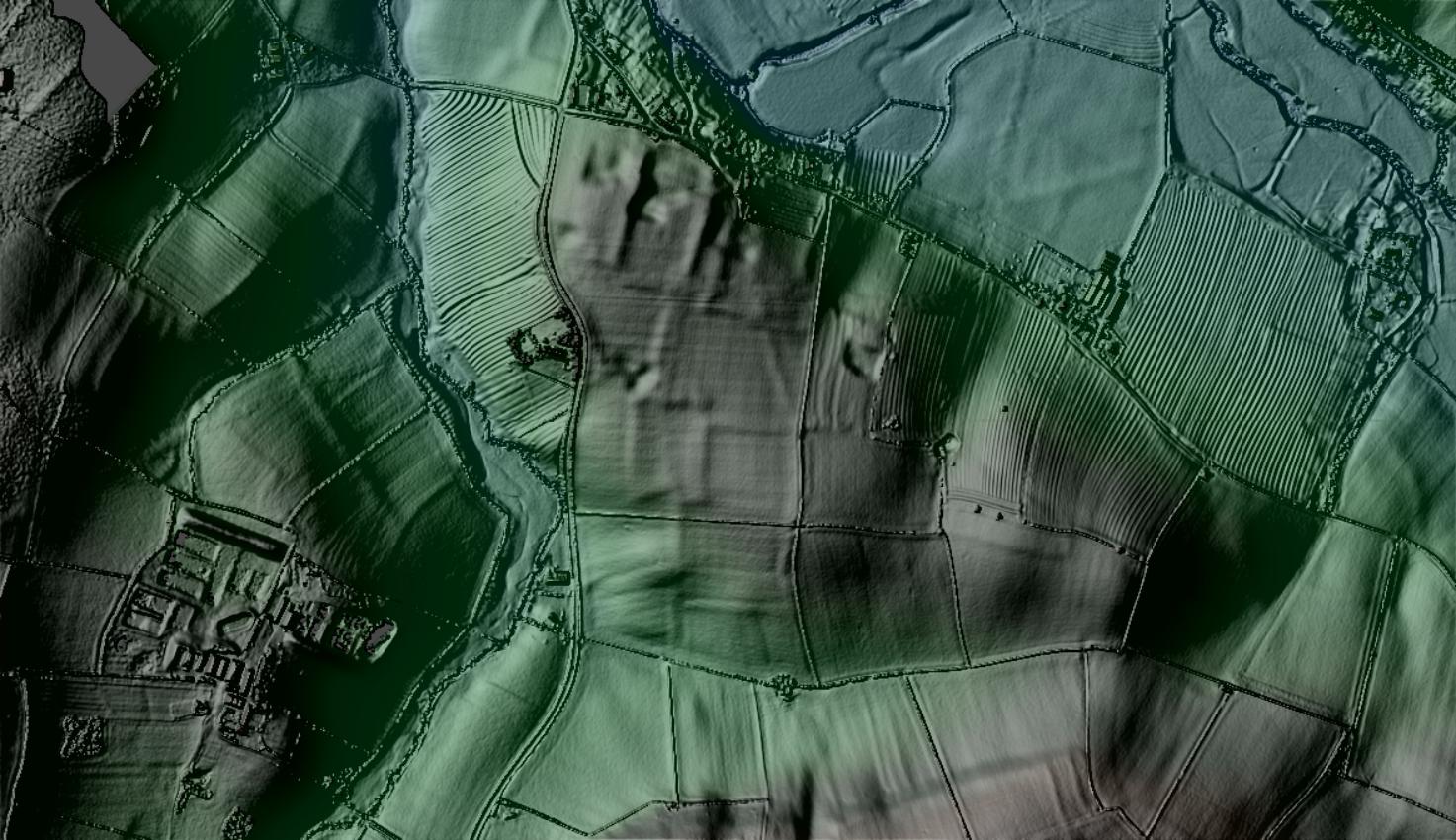
Undated linear cropmark
")
Description of this historic site
Linear features and enclosures of unknown date are visible as cropmarks on aerial photographs. They are situated 600m south of Wimpstone.
Can you help?
Notes about this historic site
2 Possible enclosures and linear features show on air photographs. These marks are impossible to plot.
3 This location is given for a programme of fieldwalking carried out by Richard Hingley, at Rotton Pot Furlong, but the Field Survey Record Form was in the FI file for WA4885 – Birchfurlong.
- For the sources of these notes, see the
- Timetrail record
- produced by the Historic Environment Record.


Comments
Add a comment about this page