Ridge and furrow ploughing in the parish of Cherrington

Description of this historic site
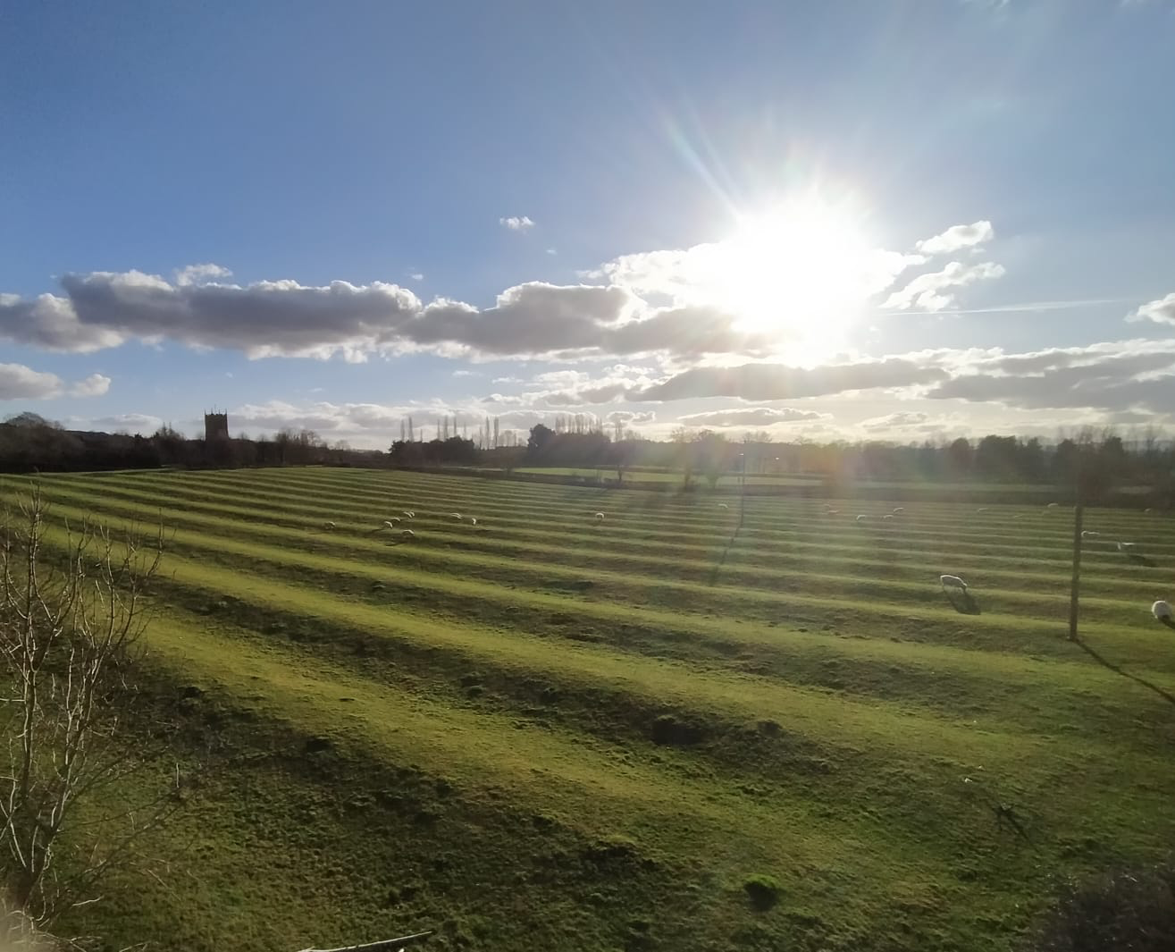
Ridge and furrow ploughing to the north of Cherrington is apparent as earthworks on aerial photographs taken in 1996
Can you help?
Notes about this historic site
1 Ridge and furrow ploughing to the north of Cherrington apparent as earthworks on aerial photographs taken in 1996 was mapped as part of the English Heritage National Mapping Project.
- For the sources of these notes, see the
- Timetrail record
- produced by the Historic Environment Record.


Comments
2021: This wonderful view in the Cotswold AONB of the Grade 1 Listed Cherrington Church across the historic monument ridge and furrow Glebe Field is under threat of development from planning permission which is being sought by Warwickshire Rural Housing association from Stratford Council to build an estate directly in front of the cameraman’s position. The rectangular well preserved Glebe Field, currently protected by covenants and greenbelt will be destroyed.
The camera man is at the North East corner of the field looking toward the South West corner.
Add a comment about this page