

This is a work in progress to discover the history of all the historic house sites in the north Warwickshire market town of Atherstone. From the Middle Ages onwards the town was laid out as about 180 house plots, (‘burgage plots’), although many of these contained more than one individual house, (particularly those that were developed as the Yards of poor cottages). A considerable number of the houses still survives, dating from the 15th to the 19th centuries, but the house histories cover all the sites, whether they still have historic houses on them or not.
Beginnings
It began in 2004 when Atherstone Civic Society obtained a grant of £30,000 from the Heritage Lottery Fund to research the history of the buildings in Atherstone town centre. During this project a large number of documents was unearthed from local and national archives. By far the most fruitful source came in the 85 volumes that comprise the records of the manor court. These run unbroken from 1589 to 1608 and then from 1645 to 1893.
These records have provided the backbone for discovering the chronology and sequence of ownership of the 120 copyhold and the 61 freehold burgage plots in the town’s medieval envelope. The manor court rolls, as they are known, record transactions of copyhold property. Each time a property changed hands the seller, heir or trustee of a deceased owner (or their representative) visited the manor court and ‘surrendered’ the property into the hands of the lord of the manor’s steward.1 The buyer, heir or trustee would then pay a fixed fine to the steward to be ‘admitted’ to the copyhold tenancy.2
A large jigsaw puzzle
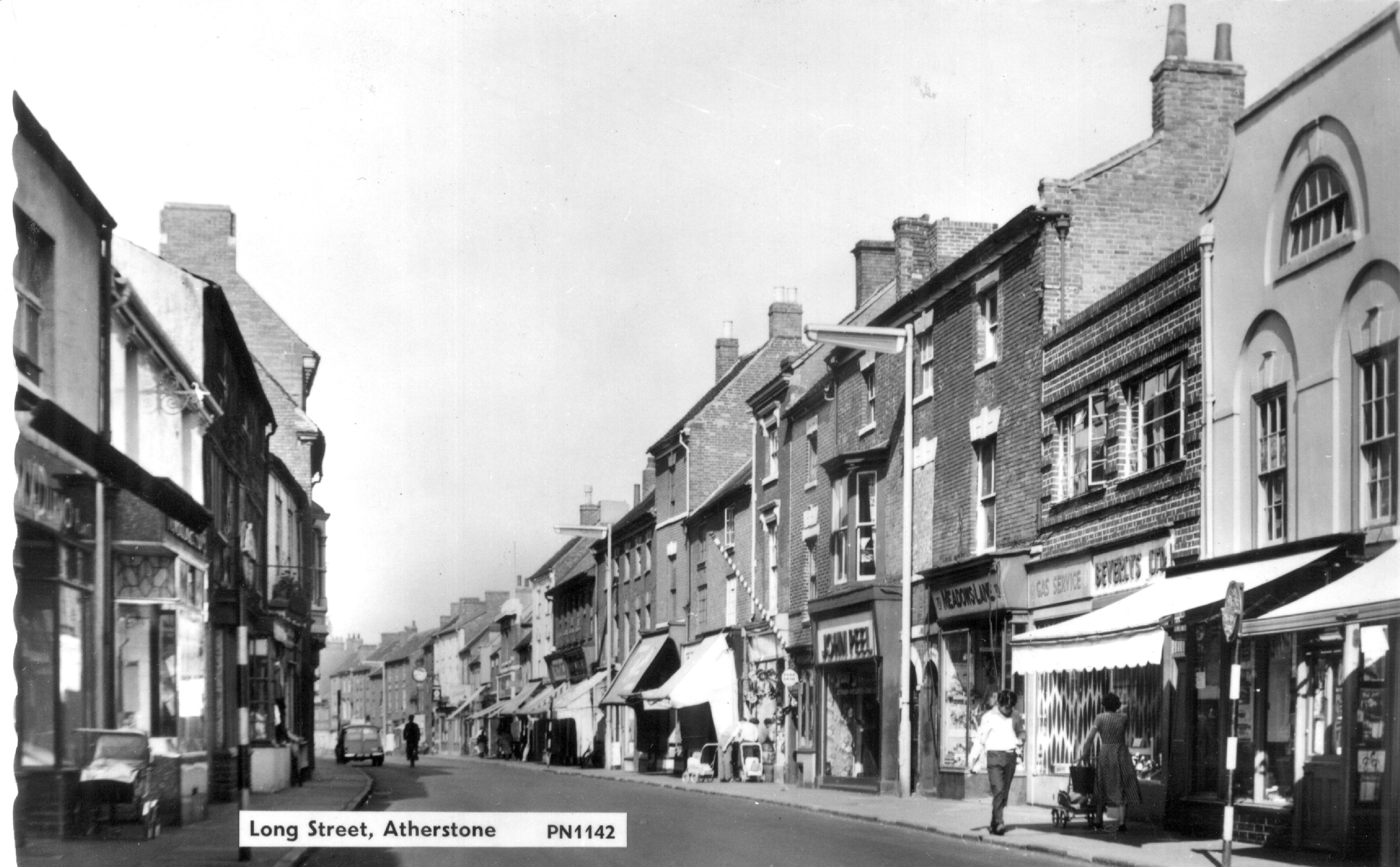
Each transaction records the name of the owner and occupiers of the property and usually those of the abutting property on either side. Each transaction thus becomes a piece in a large jigsaw puzzle, enabling the properties to be placed in order. The completed ‘jigsaw’ can be overlaid on the 1786 map of the town, which shows each burgage plot and its owner at that date. This map also identifies each property by number, either as C1-120 for the copyholds or F1-61 for the freeholds, and we have used these numbers in our work.
Using these names, we have been able to create a chain of ownership and occupation backwards, generally to 1645 and sometimes earlier and then forwards up to the census of 1851, at which point this chronology ceases; (though the manor court records survive until 1893). Some topographical features of the town are recorded repeatedly over the years in relation to certain properties. For example holdings F29 and F30 stood next to the 17th century ‘Spicers Lane’, which was later known as ‘Dog Lane’ and more recently as ‘Ratcliffe Street’ and ‘Hall Lane’, which today we know as ‘Coleshill Street’.
Details of freehold property come mostly from abuttal information in copyhold entries.
A number of sources
The manor court rolls are not the only source of information on property ownership and other evidence has been used to build on this framework and consolidate it. An appeal was put out to property owners to allow the team sight of their old deeds. These deeds, along with many that reside in archives, gave much needed information on freehold property, which was not recorded by the manor court. Atherstone is also fortunate in having a large number of surveys and rent rolls. The earliest used here is that commissioned by the Marquis of Dorset in 1547, which also contains abuttal information and allows the chronology to be extended back with a varying degree of certainty to this date.
Most later surveys have been shown to be in the same order, usually beginning at the south-west end of the town and proceeding eastwards to the end of Long Street, crossing over, then continuing westwards to Market Street, (Butcher Row), around the market square, down Church Street, (Bakehouse Lane), back to Long Street, then turning westwards and ending at the north-west end near to where the surveyor started. The Hearth Tax also follows this line.3
The 1547 survey
One particularly significant document is a survey made for Henry Marquis of Dorset in 1547, after he was granted the manor of Atherstone, because it gives us the earliest complete picture of the town. His steward recorded the rent of each holding and its abuttals, (the holders of the adjoining properties), though he did not include the names of sub-tenants, and the list of properties was re-arranged by copyholder, starting with properties held by the Guild and the Chantry of Atherstone. It has proved possible by using the abuttals to re-arrange the survey into street order (with a few uncertainties). When the rents are compared with those from a rental of 1661, it is remarkable how many still paid the same rent. This has given more certainty about the location of the earlier properties. There are still areas of doubt, but the match on a large number of them is remarkable and the 1547 information has been included in the House Histories whenever possible.
1 For a fuller explanation of how the system worked see, Nat Alcock and JudyVero, ‘The Burgages of Atherstone,’ in Alcock, N. and Hughes, M. (eds), Atherstone: A Pleasantly Placed Town (Chichester, 2008), pp. 29-36.
2 The fines were 2 shillings and 6 pence for ¼ burgage, 5 shillings for a ½ burgage, 7s. 6d for a ¾ burgage and 10 shillings for a full burgage.
3 A new transcription, ed. Arkell, T. with Alcock, N. Warwickshire Hearth Tax Returns: Michaelmas 1670, Dugdale Society Vol. 43, 2010., corrects the inaccuracies of previous transcriptions. See pp. 377-380.


Comments
Add a comment about this page