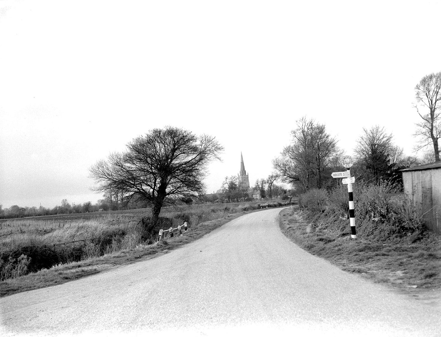
Quinton, Lower. Road into village Road into Lower Quinton. In the distance the parish church (St Swithin's). 1957 IMAGE LOCATION: (Warwickshire County Record Office) Reference: PH(N), 600/616/7, img: 9925 This image is subject to copyright restrictions. Please see our copyright statement for further details. Map marker in the right place? If not, please correct the map. Locations Quinton, Lower (66) Subjects Country Lanes and Footpaths (327)Highways (104) Date 1957 Comments Reply The boundary stone in the verge, just beyond the signpost is now much closer to the highway and more sunken. It should be lifted and resited further back out of danger of more damage. See it here. By Robert Caldicoitt (13/05/2020) Add a comment about this page Your email address will not be published. Required fields are marked *Your comment:Name * Email * Website Save my name, email, and website in this browser for the next time I comment. I consent to my name and e-mail address being stored along with this comment, and to the website editors communicating with me by e-mail about the comment if necessary. My name may be published alongside the comment on the website, but my e-mail address will not be published. My information will not be shared with any third party (see our Privacy Statement - opens in a new window). * Δ Share this FacebookPinterestTwitterLinkedin
Comments
The boundary stone in the verge, just beyond the signpost is now much closer to the highway and more sunken. It should be lifted and resited further back out of danger of more damage. See it here.
Add a comment about this page