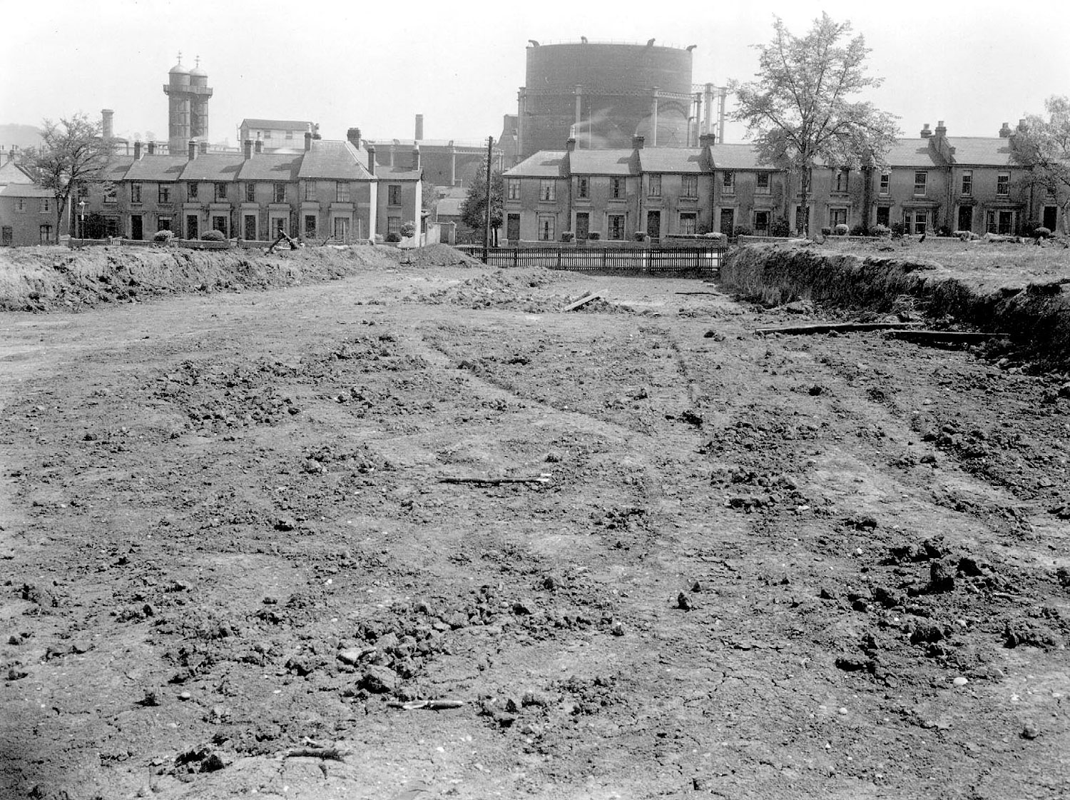
Leamington Spa. Shrubland Hall Estate

Shrubland Hall estate, Leamington Spa, after clearing looking towards the Gasworks. 1930s
IMAGE LOCATION: (Warwickshire County Record Office)
Reference: PH, 546/91, img: 5118
This image is subject to copyright restrictions. Please see our copyright statement for further details.


Comments
I’m guessing that we are looking down what is now Kingsway, towards Gas Street. Tachbrook Road was there from the beginning of Leamington – even before.
The large gasometer in the picture , was situated beside the canal at the bottom
Of RANLIEGH TERRACE, any trace of ground
Pollution was removed many years after its
Demolition and before residential housing
Being built on the site.(close to Brunswick
Street junction.).
Add a comment about this page