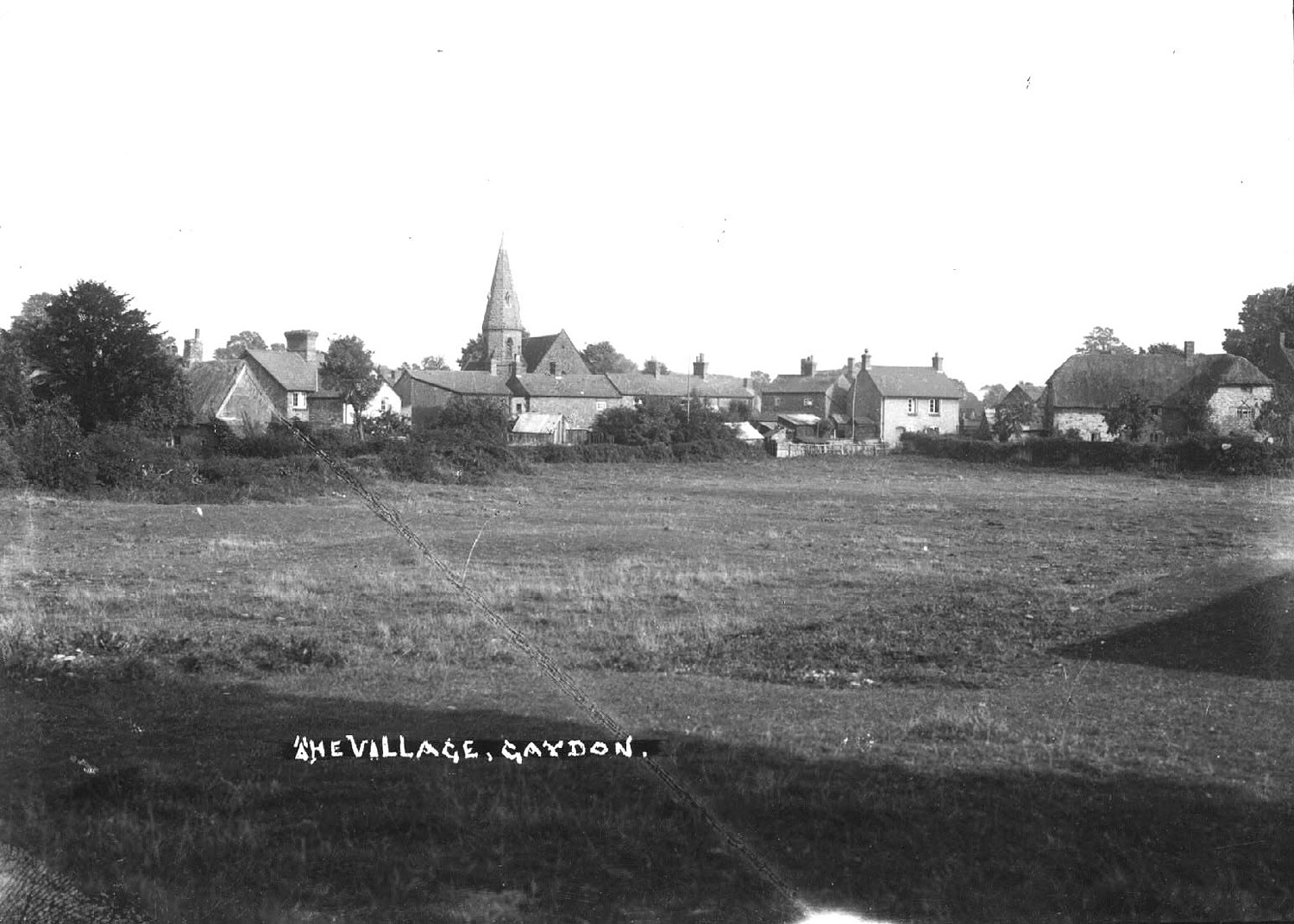
Gaydon. Village view A view of the village across fields, Gaydon. 1950s IMAGE LOCATION: (Warwickshire County Record Office) Reference: PH, 266/122, img: 272 This image is subject to copyright restrictions. Please see our copyright statement for further details. Map marker in the right place? If not, please correct the map. Locations Gaydon (48) Subjects Village Views (170) Date 1950-1959 Comments Reply This was called the meadow, onto which St Giles Road was built in the mid 1950s. By CJ (15/11/2021) Add a comment about this page Your email address will not be published. Required fields are marked *Your comment:Name * Email * Website Save my name, email, and website in this browser for the next time I comment. I consent to my name and e-mail address being stored along with this comment, and to the website editors communicating with me by e-mail about the comment if necessary. My name may be published alongside the comment on the website, but my e-mail address will not be published. My information will not be shared with any third party (see our Privacy Statement - opens in a new window). * Δ Share this FacebookPinterestTwitterLinkedin
Comments
This was called the meadow, onto which St Giles Road was built in the mid 1950s.
Add a comment about this page