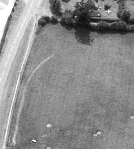
Undated cropmark enclosures
Description of this historic site
The site of two enclosures and a pit alignment of unknown date that are visible as cropmarks on aerial photographs. They are situated to the south west of Wolston.
Can you help?
Notes about this historic site
2 At least two undated subrectangular enclosures show on aerial photographs.
3 Site no 101 in survey.
4 Two pit clusters (MWA 5410), a pit alignment, three ditched enclosures and evidence of ridge and furrow ploughing (MWA 12103) were mapped as part of the English Heritage National Mapping Project.
- For the sources of these notes, see the
- Timetrail record
- produced by the Historic Environment Record.


Comments
Add a comment about this page