Site of Watermill 200m SW of Cryfield Grange
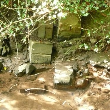
There are signs of water management in the stream.
Image courtesy of William Arnold
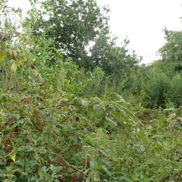
The overgrown hedge row on the lower dam renders any features unobservable.
Image courtesy of William Arnold
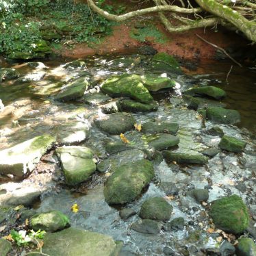
The stream near Cryfield Grange, Stoneleigh.
Image courtesy of William Arnold
Description of this historic site
There is documentary evidence for a watermill at Cryfield Grange from the Medieval to the late Post Medieval period. It was recorded as a fulling mill in 1535. The dam banks remain visible as earthworks, 700m north east of Crackley Wood.
Can you help?
Notes about this historic site
1 There are mill dams at SP2974 and SP3074. The N dam is 1m high with modern mutilation. The S dam is also mutilated. There are no traces of a mill.
2 Mill Field marked at SP3074.
3 A mill was recorded at Cryfield in 1291 and a fulling mill in 1535.
4 The dam banks are still visible, but have been considerably worn by cattle.
5 Air photographs.
6 The University of Warwick archaeological assessment also mentions possible fishponds.
7 Correspondence from 1972.
8 Online lidar shows the dam banks.
- For the sources of these notes, see the
- Timetrail record
- produced by the Historic Environment Record.


Comments
The stream at this point runs up to six foot deep and rather strongly. The valley is wide and flat, it would appear that the dam was more likely for a fish pond. Possibly it was a causeway across a part of land that at the confluence of two streams (the modern footpath runs over the culvert of one) would have been marsh
Add a comment about this page