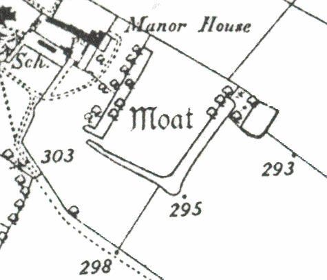
Medieval Moat 100m SE of Church, Stockton
Description of this historic site
A moat, a wide ditch, which may have surrounded the manor house of Stockton. It is visible as an earthwork, though partly overgrown, and is marked on the Ordnance Survey map of 1886. It is situated 100m south east of St Michael's Church.
Can you help?
Notes about this historic site
1 The moat may surround the site of the manor of Stockton. It encloses a rectangular area on three sides only, the SE side being open. There is an entrance on the NE corner. The NE and NW arms are approximately 2m deep and waterfilled. It was not possible to see the depth of the SE arm of the moat as it was so overgrown. The interior of the moated site is flat and grassy. The published survey (25″) of the moat is correct.
2 Plotted on the 1886 O.S. map.
- For the sources of these notes, see the
- Timetrail record
- produced by the Historic Environment Record.


Comments
Add a comment about this page