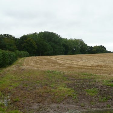
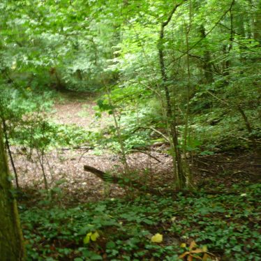
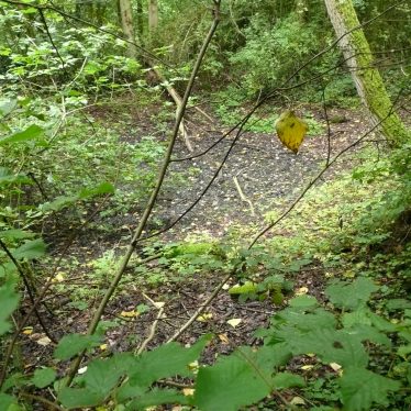
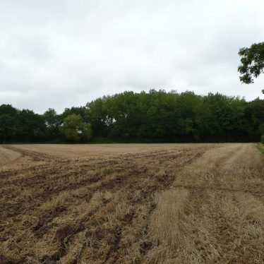
Ticknell Spinney as presently mapped is substantially the same as it was mapped circa 1830, a triangular spinney with one face bordering the road from Stoneleigh to Cubbington. In the 1830, it is shown with a track running exactly the length of the spinney on the Cubbington side face. The spinney is grown over a number of pits of varying shapes which are only separated by narrow banks, these have the appearance of man made features. The only area not pitted is the edge facing Cubbington which is level and even, and corresponds with the track marked in early mapping.
Suppositions
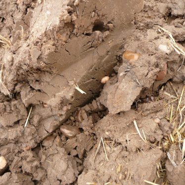
The site may have been for clay extraction and brick / tile making; it resembles other Stoneleigh sites associated by name with brickworking . Other explanations might be fishponds or retting pits – I favour brickworking. The site must predate the spinney marked in 1830s mapping, with the track allowing an area for access and working.
It is worth remembering that bricks were still until recently sometimes fired in clamps which would leave very little to observe on the surface and that spinney can not only mean a small wooded area but an area of immature trees such as would naturally grow (or Be Planted ) on a site rendered less suitable for agriculture and not actively farmed.
Questions
- Why the number of small pits instead of one large one?
- Could each pit represent one years extraction of clay with the ridges representing backfill?
- Perhaps the banks were used as ramps for barrows to ascend from the pits?
- Was the rather shallow nature of the pits (allowing for erosion) related to the water table or to the ease of removing the clay?



Comments
Add a comment about this page