
A bit of history
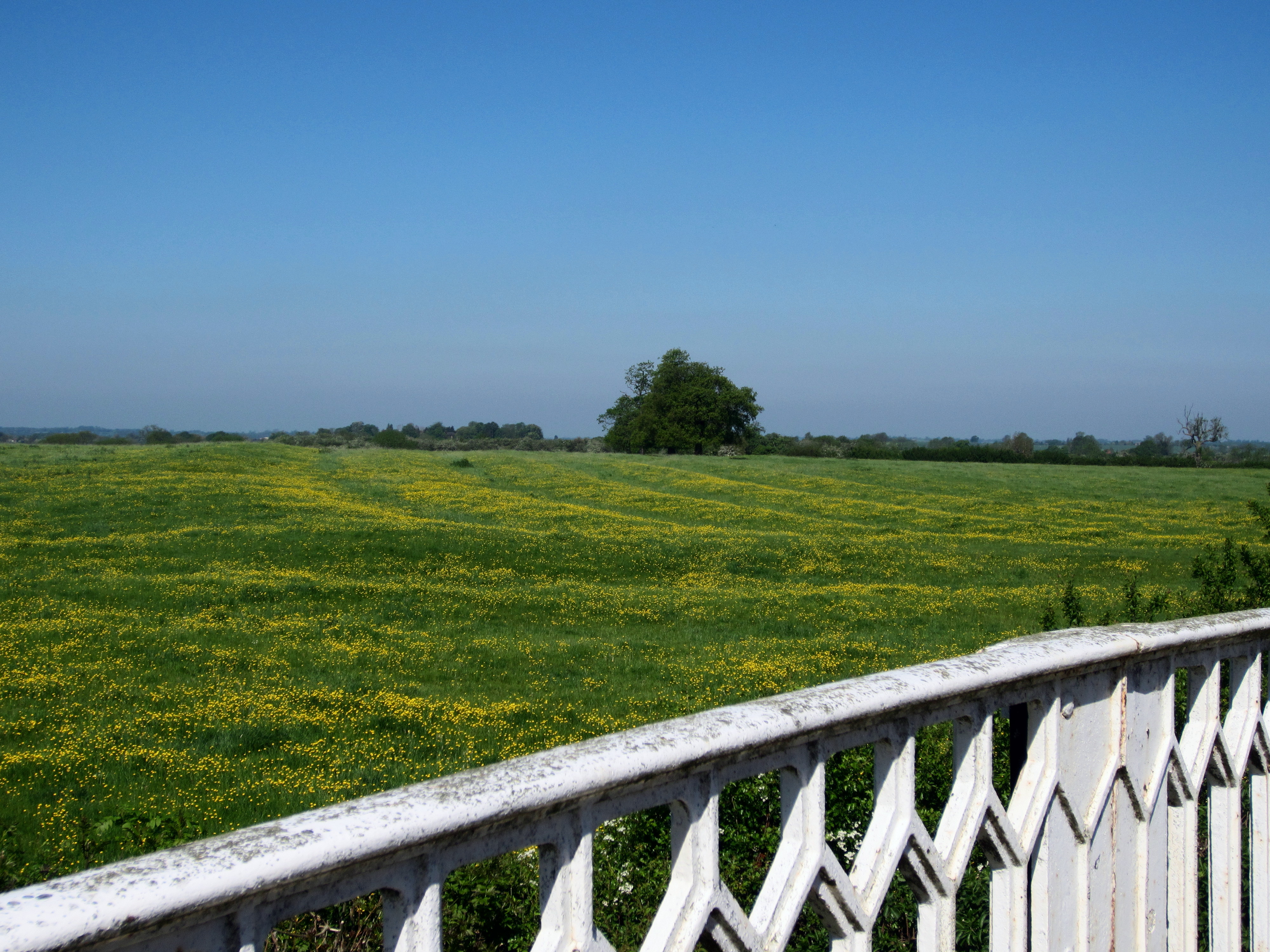
Field names provide an unofficial record of rural history. In medieval times villages had two or three great fields with a crop-rotation system. These great fields were divided up into long furlongs (to suit ploughing) and then into strips, with each tenant originally having strips in the different fields to even out the good and bad land. Remnants of these ancient, S-shaped strips can still be seen in some places. However most of the ridge & furrow we see on fields today are smaller and straighter divisions caused by the ploughing techniques used in Napoleonic times. These patterns survive where the land has reverted to pasture so that the undulations have not been flattened out by modern deeper ploughs.
Enclosure
Medieval strips were inefficient to farm, particularly when larger ploughs were introduced, and a movement began to gather them into more practical units. Gradually the great fields were divided up into smaller fields; this process of enclosure happened chiefly during the 18th & 19th centuries. The new fields were often called ‘closes’ (because they had been enclosed by hedges) and many of these hedges and fields survive today. The new fields were given names that were used until the Ordnance Survey came along in the 1880s and numbered all the fields, thus signing the death warrant of the old field names.
Names evolved
Field names gradually changed over the years, particularly before most people could read or write so that we see the result of a largely oral tradition. A field in Princethorpe (where drainage pioneer Joseph Elkington made his great discovery) was called ‘Long Harol Pits’ (in the 1790s) but 30 years later had become ‘Long Harpits’, whilst an adjacent field was called ‘Hare Pits’.
Sources for field names
Farmers and long-term residents may still use some field names. Early estate maps usually include field names; the County Record Office has master maps with the estate (and other) maps marked on them so you can see at a glance which maps might be of interest to you. Enclosure documents may include a map with some old field names. In the 1840s and 50s surveys were made of all the titheable land in England and Wales. Volunteers have put information from the Warwickshire tithe apportionments onto the internet. A few other counties have done something similar (Cheshire, Cornwall, Devon, Kent, Somerset, W. Sussex and W. Yorks). Cheshire has digitized copies of tithe maps (and Warwickshire is currently digitizing its tithe maps). Sale documents up until the 1880s usually included a map with a list of field names. The Place Name Society encouraged school-children in Warwickshire to record field names in the 1930s and the results of their research are under the reference number DR 38/15 at the County Record Office, but not all villages are represented.
Please rescue your field names
In a further article, I look at the reasons why fields are named, and some of the specific names associated with fields in the area. I hope that local history groups might like to record their field names using the sources suggested above. The Warwickshire County Record Office would welcome the results of your research (preferably with a map).


Comments
I have done a bit of research into the field names of Hillmorton, in particular those on the Radio Station site. I found it interesting that there were two called Castle Ground and Castle Meadow. As far as I know there is no trace of a Castle in the area – they are on the parish boundary with Clifton, next to the Clifton Brook. Perhaps named after someone called Castle?
I have mapped all of the field names from the Rowington tithe map and cross-referenced to the modern OS field numbers. All available at http://www.rowingtonrecords.com/Houses%20and%20Places/Maps/index.html
Well done Nick, I’m delighted to hear this. Did you find any interesting or unusual names? (I’m working on my own village but nowhere near finished yet!)
I have a map with many of the old field names in Napton on the Hill where there are still many ridge and furrow fields.
An interesting question Christine. I wonder if the names relate to the two old castles at Lilbourne? They are just over the border in Northamptonshire, but might have been visible from your fields, or possibly even have belonged to the owner of one of them. By the way please deposit a copy of your findings at the County Record Office (if you’ve not already done so) to help future researchers.
If you can bear to part with the map Andy perhaps you could donate it to the Warwickshire County Record Office to keep safely. (And if you can’t bear to part with it perhaps you could give them a copy to help future researchers.)
Add a comment about this page